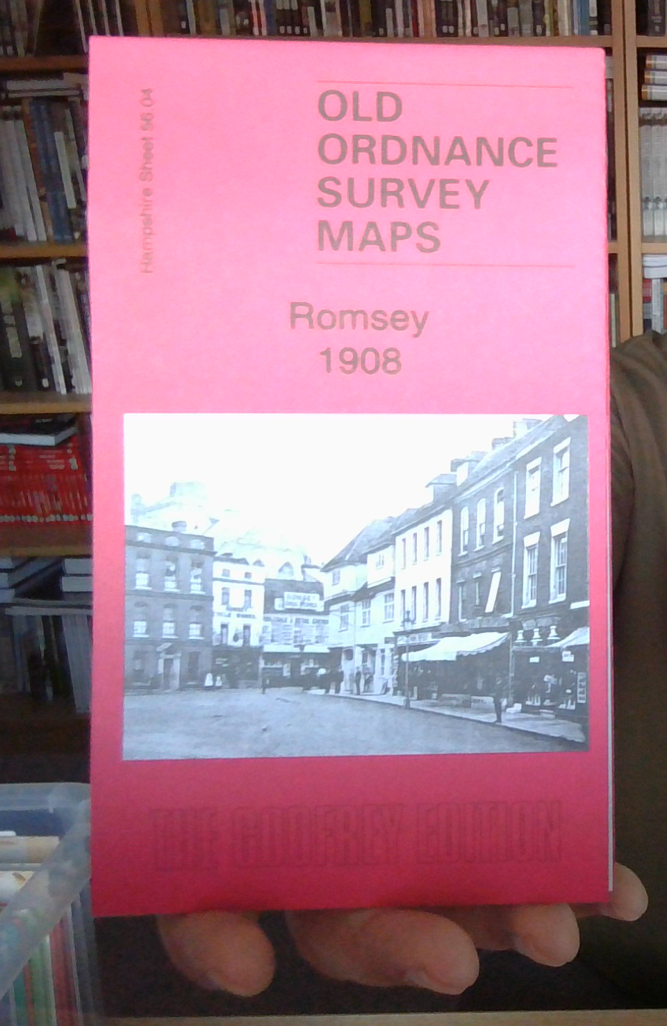
MAP OF Romsey 1908: Hampshire Sheet 56.04 by Pamela Taylor (Sheet map, 2018) NEW
Here are the details of maps for Romsey\n\nSheet 56.04 Romsey 1908 - published 2018; intro by Pamela Taylor. ISBN.978-1-78721-119-3 This map covers most of the Hampshire town of Romsey and all the town centre is covered in detail.\nFeatures include railway with station and Romsey Junction, Abbey Church, Abbey Mills, Test Mill, Saddler's Mill, Market Place, Pig Market, brewery, St Joseph's RC Orphanage, nurseries, mill races, Middle Bridge, Burnt Mill, Test Valley Iron Works, Harrage Park area, motor works, Romsey Union Workhouse, Durban House, Romsey Cemetery, Whitenap, Harefield etc.We include extracts from an 1899 directory on the reverse.
Compare prices (2 shops)
| shop | Price | Action |
|---|---|---|
|
|
3,45 GBP | Go to shop |
|
|
3,75 GBP | Go to shop |
Similar products
-

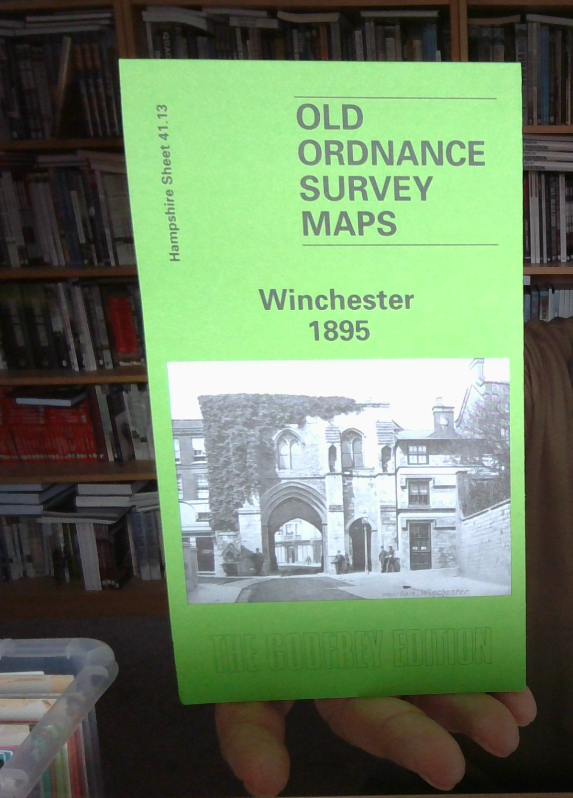
Winchester 1895 Hampshire Sheet 41.13 by Pamela Taylor
From 3,75 EUR -

-

-
-
-

Alresford 1908 Hampshire Sheet 42.06 by Tony Painter
From 3,75 EUR