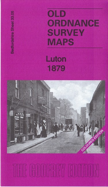
Luton 1879 Coloured Edition Bedfordshire Sheet 33.05a by Barrie Trinder
This map covers the centre of Luton, with coverage stretching from the stations southward to Farley Hill. Features include town centre in detail, with individual buildings neatly shown, St Mary's church, Midland Railway and station, Great Northern Railway and station, Plait Halls, Buxton Lodge, Holly Lodge, Park Town, New Town, Corn Exchange, River Lea, Town Hall, skating rink, Christ Church, Luton Union Workhouse, Buxton Hill, chapels, schools etc.
Compare prices (2 shops)
| shop | Price | Action |
|---|---|---|
|
|
4,95 GBP | Go to shop |
|
|
5,00 GBP | Go to shop |
Similar products
-

-
-
-

-

-

Old Basford 1913 by Barrie Trinder (Sheet map, folded)
From 6,74 EUR