
MAP OF Penrhiwceiber & Tyntetown 1914 Glamorgan Sheet 19.10 by Ray Lawrence NEW
Here are the details of maps for Penrhiwceiber:\nGlamorgan Sheet 19.10 Penrhiwceiber & Tyntetown 1914 - published 2018; intro by Ray Lawrence. ISBN.978-1-78721-134-6 This detailed map covers the eastern part of Penrhiwceiber and extends eastward to the River Taff.\nFeatures include part of the village of Penrhiwceiber, Cwmcynon Colliery, Penrikyber Navigation Colliery, Taff Vale Railway (Aberdare Branch) with Penrhiwceiber station, Aberdare Canal (disused), Tyntetown, Pontcynon Branch Railway, GWR Vale of Neath railway, Afon Cynon, Craig yr Efail, stretch of Merthyr & Quaker's Yard line etc.\nThe map links up with Glamorgan sheet 19.11 Treharris to the east.
Compare prices (2 shops)
| shop | Price | Action |
|---|---|---|
|
|
3,49 GBP | Go to shop |
|
|
3,75 GBP | Go to shop |
Similar products
-

Aberavon 1914 Glamorgan Sheet 25.13 by Ray Lawrence
From 3,75 EUR -

Nantyffyllon 1914 Glamorgan Sheet 26.05 by Ray Lawrence
From 3,75 EUR -
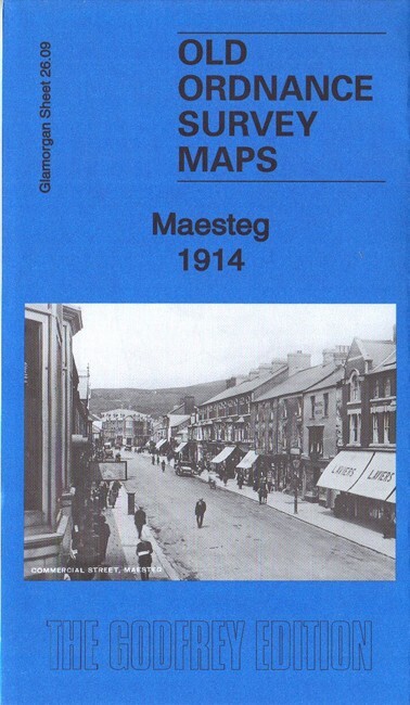
Maesteg 1914 Glamorgan Sheet 26.09 by Ray Lawrence
From 3,75 EUR -

-

-
