
MAP OF Raynes Park & West Barnes 1933 Surrey Sheet 13.02 by Richard Oliver NEW
This detailed map covers the southern part of Raynes Park, south of the station, and also includes West Barnes and the eastern edge of New Malden.\nFeatures include Motspur Park station, Gramophone & Record Works, Bushey Works, Printing Works, Electrical Time Switch Works, Electric Accumulator Works, Seed Testing Station, The Blue House, Prince George's Playing Fields, Holy Cross Church, St Saviour's church, Grand Drive, Shannon Corner, Cannon Hill Common, Joseph Hood Recreation Ground.
Compare prices (2 shops)
| shop | Price | Action |
|---|---|---|
|
|
3,45 GBP | Go to shop |
|
|
3,75 GBP | Go to shop |
Similar products
-

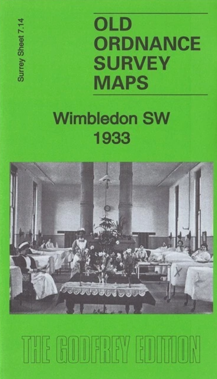
Wimbledon SW 1933 Surrey Sheet 7.14 by Richard Oliver
From 3,75 EUR -
-
