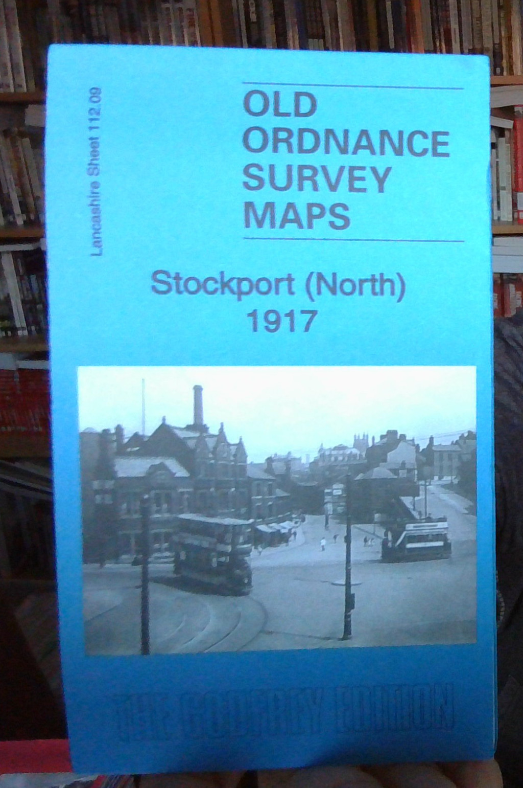
MAP OF Stockport (North) 1917 Lancashire Sheet 112.09 NEW 9781787211520
Here are the details of maps for Stockport:\n\nLancs 112.09 a Stockport (North) 1917 - published 2018; intro by Chris Makepeace. ISBN.978-1-78721-152-0 Lancs 112.09 b Stockport (North) 1934 - published 2018; intro by Alan Godfrey. ISBN.978-1-78721-168-1 We have published two versions of this map, showing how the area changed across the years. Each covers the centre of Stockport and the area to the north and east, including Portwood and Lancashire Hill.\nFeatures include central Stockport with individual buildings neatly shown, St Mary's church, St Peter's church, tramways and depot, Borough Cattle Market, New Bridge Mills, gasworks, Cheshire Lines Railway with Tiviot Dale station, Portwood Goods Station, Pendlebury Orphanage, Lancashire Hill area, Rivett's Mill, Coronation Mill, Bankfield Mill, Meadow Mill, Portwood Mills, Bee Hive Mill, Grimsbottom Recreation Ground, River Tame, Palmer Mills, Vernon Mills, St Paul's church, Croft Mills, Carrington Bridge Mill, Brinnington .
Compare prices (1 shop)
| shop | Price | Action |
|---|---|---|
|
|
3,45 GBP | Go to shop |