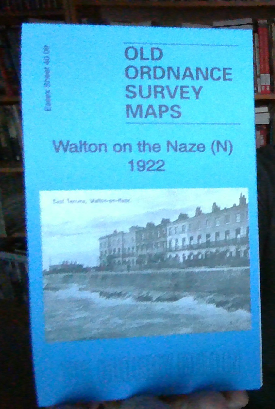
MAP OF WALTON ON THE NAZE (NORTH) 1922 ESSEX SHEET 40.09 NEW 9781787211889
Here are the details of maps for Frinton and Walton le Naze:\n\nEssex Sheet 40.09 Walton on the Naze (N) 1922 - published 2018; intro by Barrie Trinder. ISBN 978-1-78721-188-9 Essex Sheet 40.13 Frinton on Sea & Walton (S) 1922 - published 2018; intro by Barrie Trinder. ISBN 978-1-78721-189-6 These two maps give good coverage of the two Essex seaside towns of Walton on the Naze and Frinton on Sea. Both maps are double-sided to give maximum coverage.\nThe Walton North map covers the northern part of Walton. Features here include All Saints church, High Street, Old Pier Street, Saville Street, Old Mill Pond, Walton Ashes. The backing map (sheet 40.10) covers East Terrace, Naze Park, convalescent homes, Coastguard Station, Iron Foundry.\nThe Frinton and Walton South map covers the southern part of Walton, including the station and the pier, with its tramway. The map then shows the northern part of Frinton, including the station, Esplanade, Hadleigh Road etc. The backing map.
Compare prices (1 shop)
| shop | Price | Action |
|---|---|---|
|
|
3,70 GBP | Go to shop |
Similar products
-

-
-

-

MAP OF North Bournemouth 1922: Hampshire Sheet BRAND NEW
From 4,50 EUR -
MAP OF Chippenham (North) 1922 Wiltshire Sheet 20.14 NEW
From 3,45 EUR -