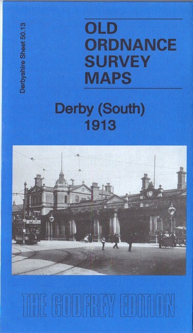
Derby South 1913 Derbyshire sheet 50.13b by Barrie Trinder
Here are the details of maps for Derby (South):\n\nDerbyshire 50.13a Derby (South) 1899 - published 1997; intro by John Gough. ISBN.978-0-85054-928-7 Derbyshire 50.13b Derby (South) 1913 - published 2018; intro by Barrie Trinder. ISBN.978-1-78721-203-9 We have published two versions of this map, showing how the area changed across the years. Each covers the southern part of Derby, with coverage stretching from Macklin Street and East Street southward to Stanhope Street, and from Wood's Lane eastward to Dickinson Street and Deadman's Bridge.\nFeatures include the Midland Railway with Midland Station, the Locomotive Works, and part of the Carriage & Wagon Works; West Junction, London Road Junction, Masson Works, Gas Works, Derby Canal, Atlas Foundry, Royal Infirmary, tramways, St James church, Midland Hotel, St Andrew's church, Holy Trinity church, Litchurch Ward, Arboretum, Rose Hill, Temple House, New Normanton Mill, Lead Works, Wilderslowe House, Castlefields Mills, eth
Compare prices (2 shops)
| shop | Price | Action |
|---|---|---|
|
|
3,45 GBP | Go to shop |
|
|
3,75 GBP | Go to shop |