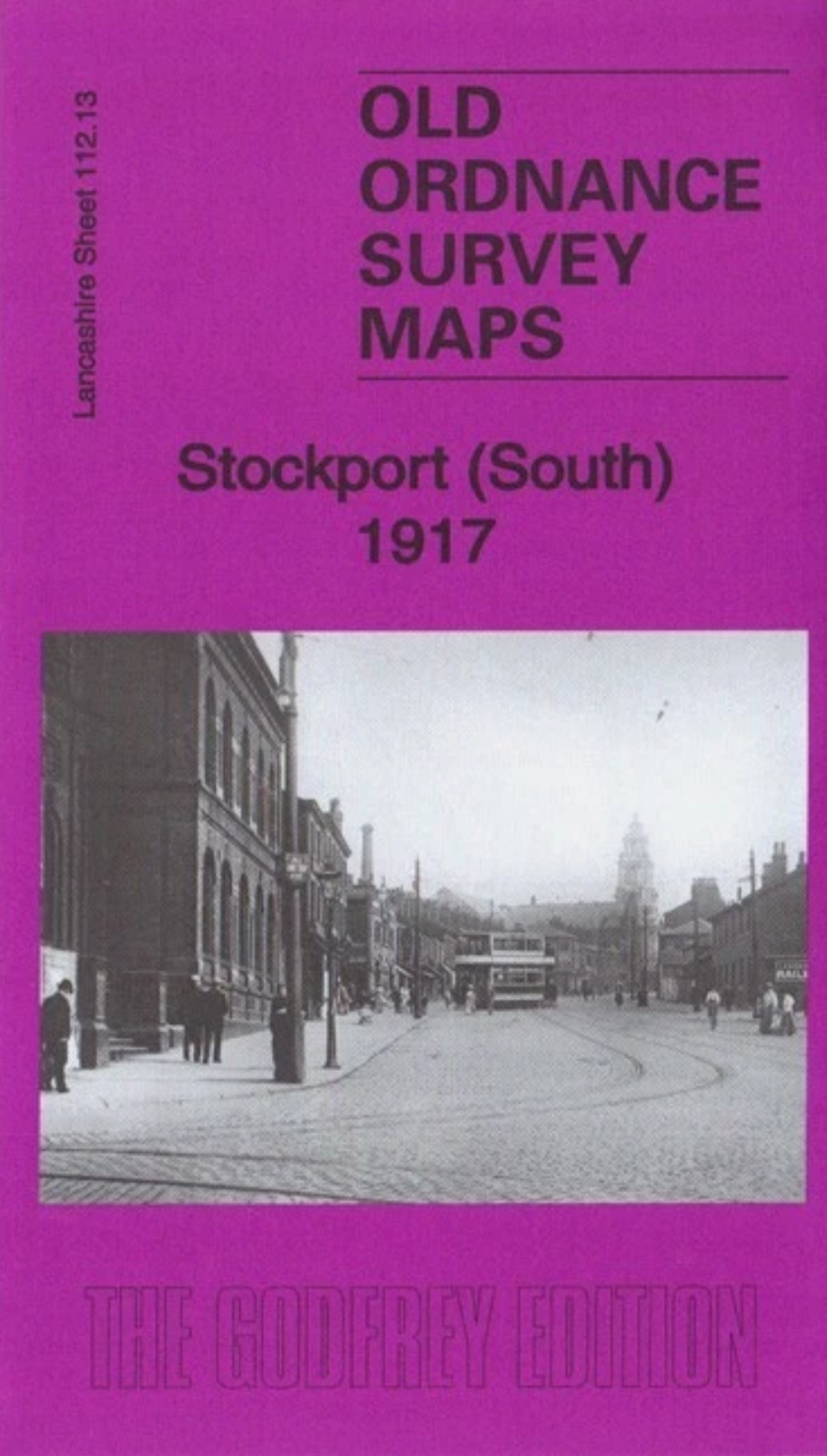
MAP OF Stockport (South) 1934: Lancashire Sheet 112.13c NEW 9781787212084
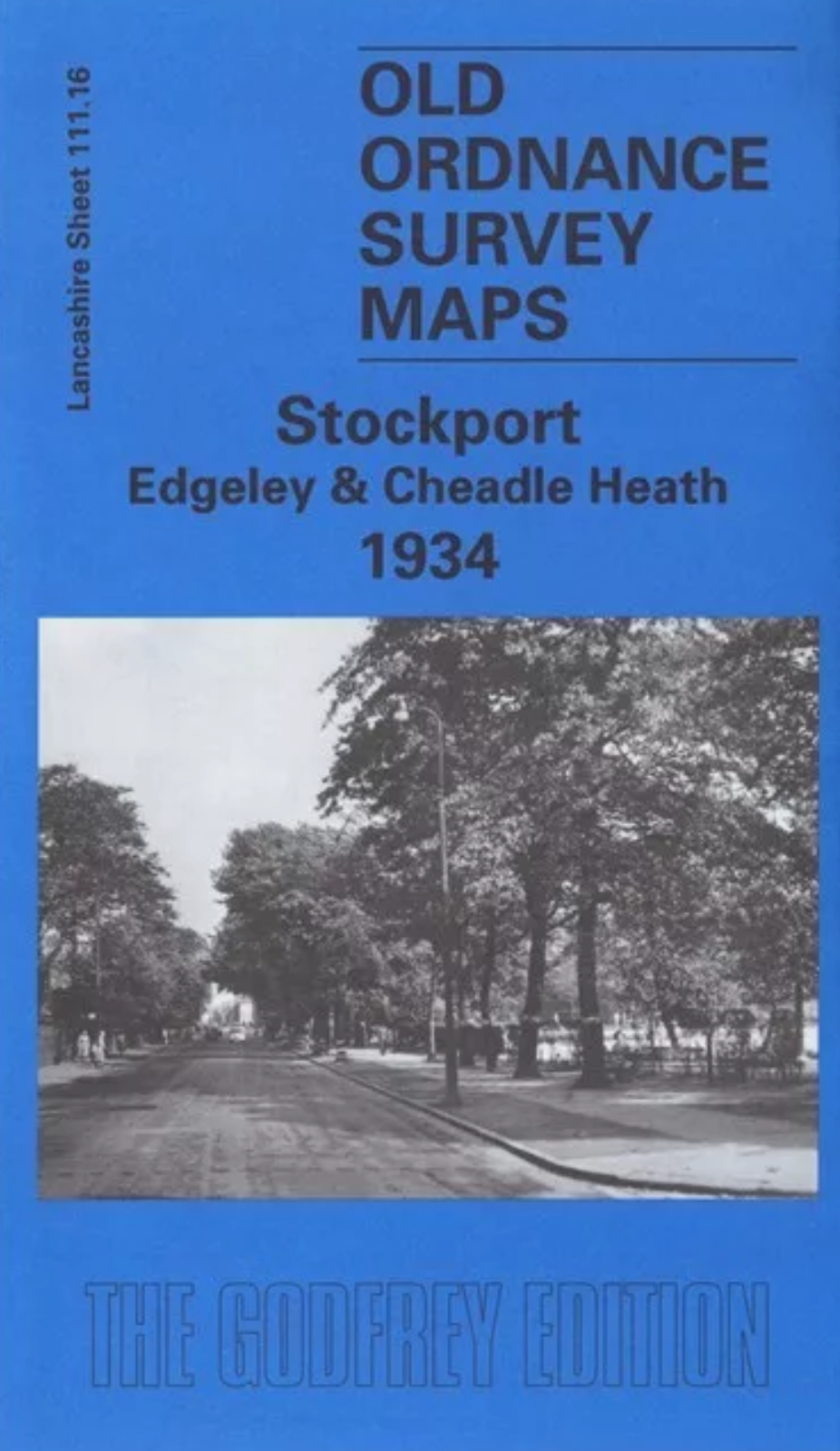
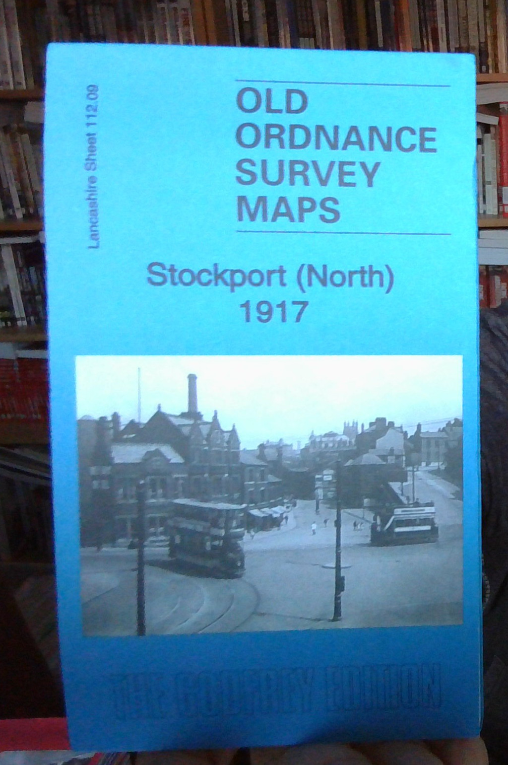
Here are the details of maps for south Stockport:\n\nLancs 112.13a Stockport (South) 1917 - published 2018; intro by Chris Makepeace. ISBN.978-1-78721-200-8 Lancs 112.13b Stockport (South) 1934 - published 2019; intro by Alan Godfrey. ISBN.978-1-78721-208-4 We have published two versions of this map, showing how the area changed across the years. Each covers the same area of south Stockport, from the Town Hall and Edgeley station southward to St George's church and eastward to Offerton Lane.\nFeatures include Town Hall, Edgeley station, Workhouse, St Thomas's church, St George's church, Infirmary, Hillgate hat factory, Brookfield Distillery, Hempshaw Brook Brewery, Shaw Heath Mill, Armoury, Victoria Park, Stockport Little Moor area, Heaviley area, Shaw Heath area, Borough Cemetery, etc.\nThe map links up with Lancashire Sheets 111.16 Stockport Edgeley to the west, 112.09 Stockport North to the north. Further maps of Stockport are available in our Cheshire series.
Compare prices (1 shop)
| shop | Price | Action |
|---|---|---|
|
|
4,50 GBP | Go to shop |