
Strabane 1905 County Tyrone Town Plan
Here are the details of maps for Strabane:\n\nCo Tyrone Town Plans Strabane 1905 - published 1987; reprinted with minor amendments 2019. ISBN 978-1-78721-248-0 This detailed map includes the three Town Plans of Strabane, here reduced in scale to 24 inches to the mile.\nMap 1 shows the northern part of the town, including railway station, Canal Basin, Abercorn Square, Butter Market. Map 2 has Castle Street, Castle Place, Christ Church, Strabane Bridge, Bridge End. Map 3 (on the reverse) has the eastern part of the town around Townsend Street, incl RC church and Convent. A directory of Strabane is also included.
Compare prices (2 shops)
| shop | Price | Action |
|---|---|---|
|
|
3,49 GBP | Go to shop |
|
|
3,75 GBP | Go to shop |
Similar products
-

-
-
-
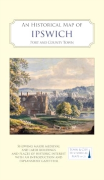
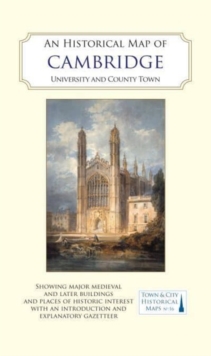
An Historical Map of Ipswich : Port and County Town
From 10,39 EUR -
-
Rackhams C.1905 County Map Of London - 70 X 95Cm - Oxford
From 223,99 EUR