MAP OF Warrington 1893 Lancashire Sheet 116.01 NEW 9781787212749
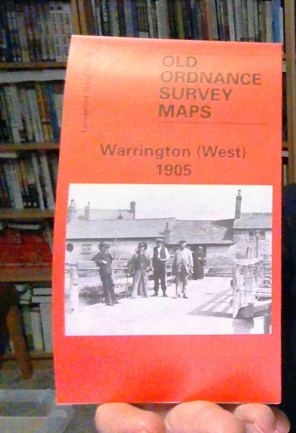
Here are the details of maps for Warrington:\n\nLancashire 115.04a Warrington (West) 1891 - published 2019; intro by Alan Godfrey. ISBN.978-1-78721-275-6 Lancashire 115.04b Warrington (West) 1905 - published 1995, 2nd Ed 2000; intro by Alan Godfrey. ISBN.978-0-85054-776-4 Lancashire 116.01a Warrington 1893 - published 2019; intro by Alan Godfrey. ISBN.978-1-78721-274-9 Lancashire 116.01b Warrington 1905 - published 2000; intro by Alan Godfrey. ISBN.978-1-84151-176-4 We have published two maps for Warrington, each with two versions, showing how the area changed across the years. The maps link up with each to provide excellent coverage of the town.\nSheet 115.04 covers the western part of Warrington in detail, with coverage extending westward to Sankey Bridges. Features include Bank Quay station, Bank Quay Cable Works, Bank Park, St Paul's church, Whitecross Works, Bank Quay Soap Works, Little Sankey Green, Workhouse, isolation hospital, Grange's Farm, Sankey Brook,.
Compare prices (1 shop)
| shop | Price | Action |
|---|---|---|
|
|
3,49 GBP | Go to shop |