
Bootle 1890
Alan Godfrey Maps
Here are the details of maps for Bootle:\n\nLancashire 106.02a Bootle 1890 - published 2019; intro by Kay Parrott. ISBN.978-1-78721-284-8 Lancashire 106.02b Bootle 1907 - published 1989; intro by Mike Greatbatch. ISBN.978-0-85054-286-8 We have published two versions of this map, showing how the area changed across the years. The 1890 version is in full colour, taken from the beautiful 1st Edition OS handcoloured map.\nThese maps cover much of Bootle, north of Liverpool, in great detail. Coverage stretches from Derby Road eastward to City Road, and from Strand Road southward to Brunswick Place. The many features include Leeds & Liverpool Canal, Bootle station, north end of Bankhall station, south end of Marsh Lane station, Town Hall, Public Baths, LNWR Alexandra Dock Branch, Technical School, LYR Bankfield Branch, tramways, Stanley Gardens; CLR Goods Branch with station, engine shed; LYR Liverpool Bolton & Bury line with engine shed, Kirkdale station, coal sidi.
Compare prices (1 shop)
| shop | Price | Action |
|---|---|---|
|
|
4,95 GBP | Go to shop |
Similar products
-
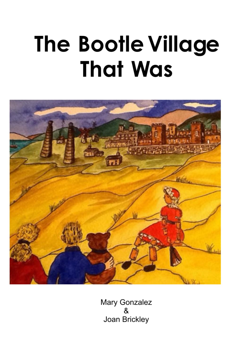
The Bootle Village That Was
From 4,50 EUR -
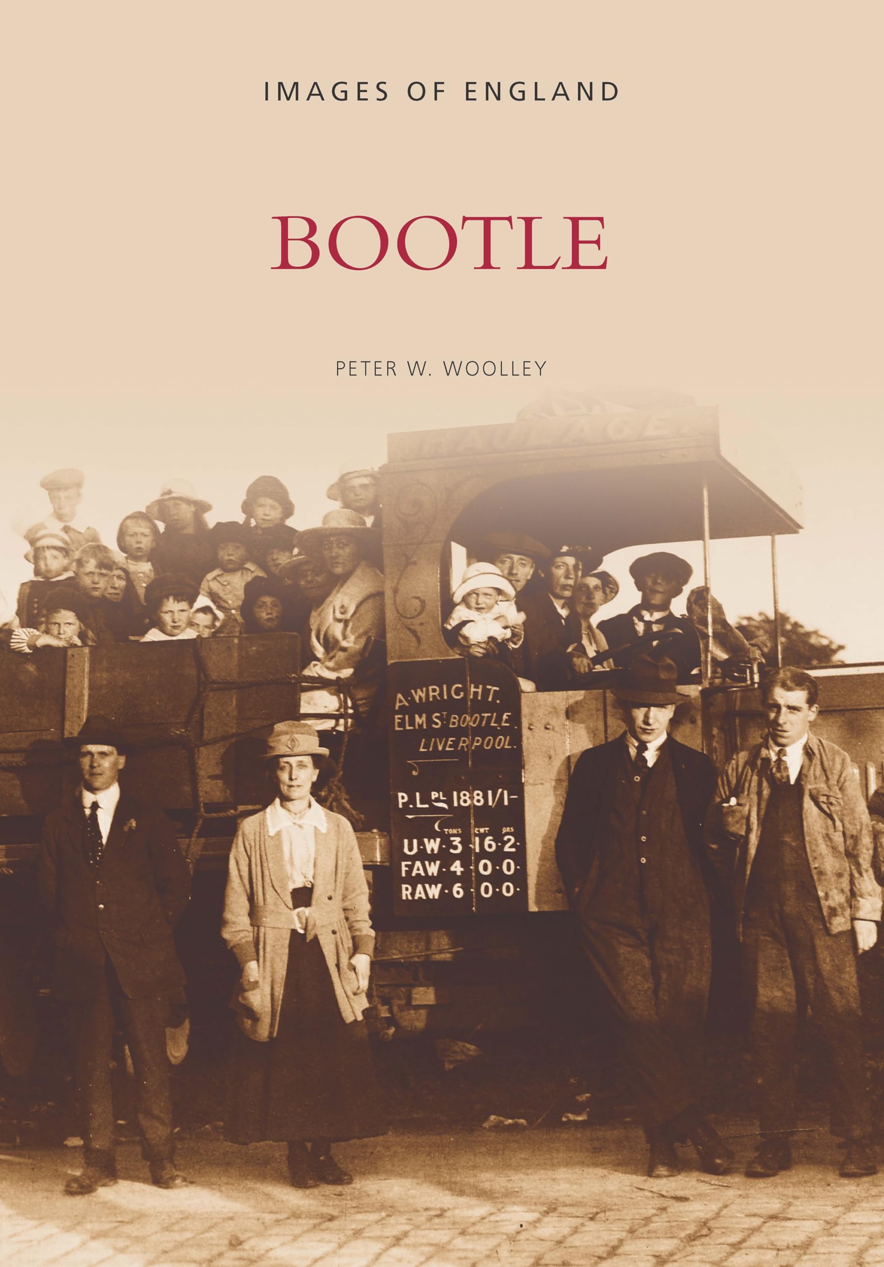
Bootle: Images of England
From 12,34 EUR -
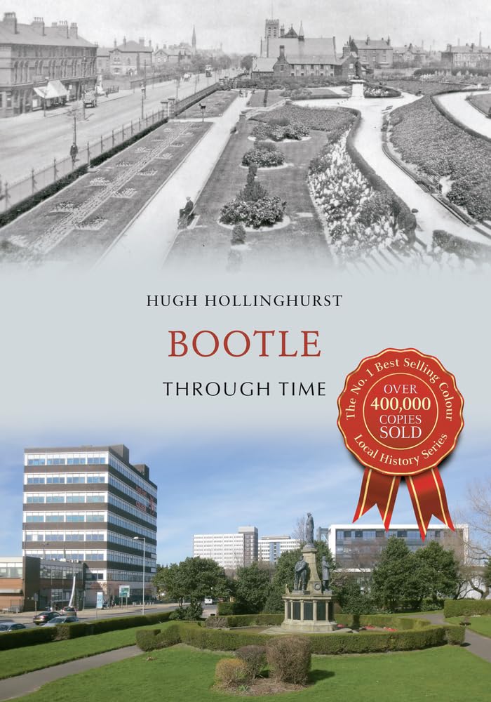
Bootle Through Time
From 15,97 EUR -

Bootle 1907 : Lancashire Sheet 106.02
From 3,75 EUR -

The Bootle Boy : an untidy life in news
From 16,39 EUR -

The Bootle Boy: My Untidy Life
From 12,99 EUR