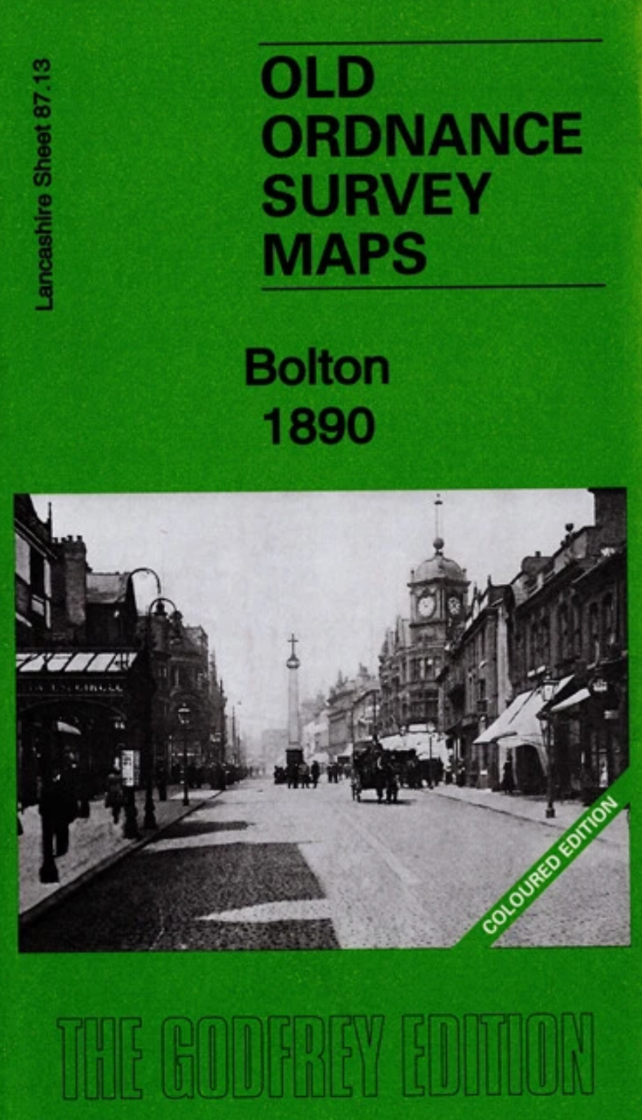
MAP OF Bolton 1890 Lancashire Sheet 87.13 NEW 9781787213241
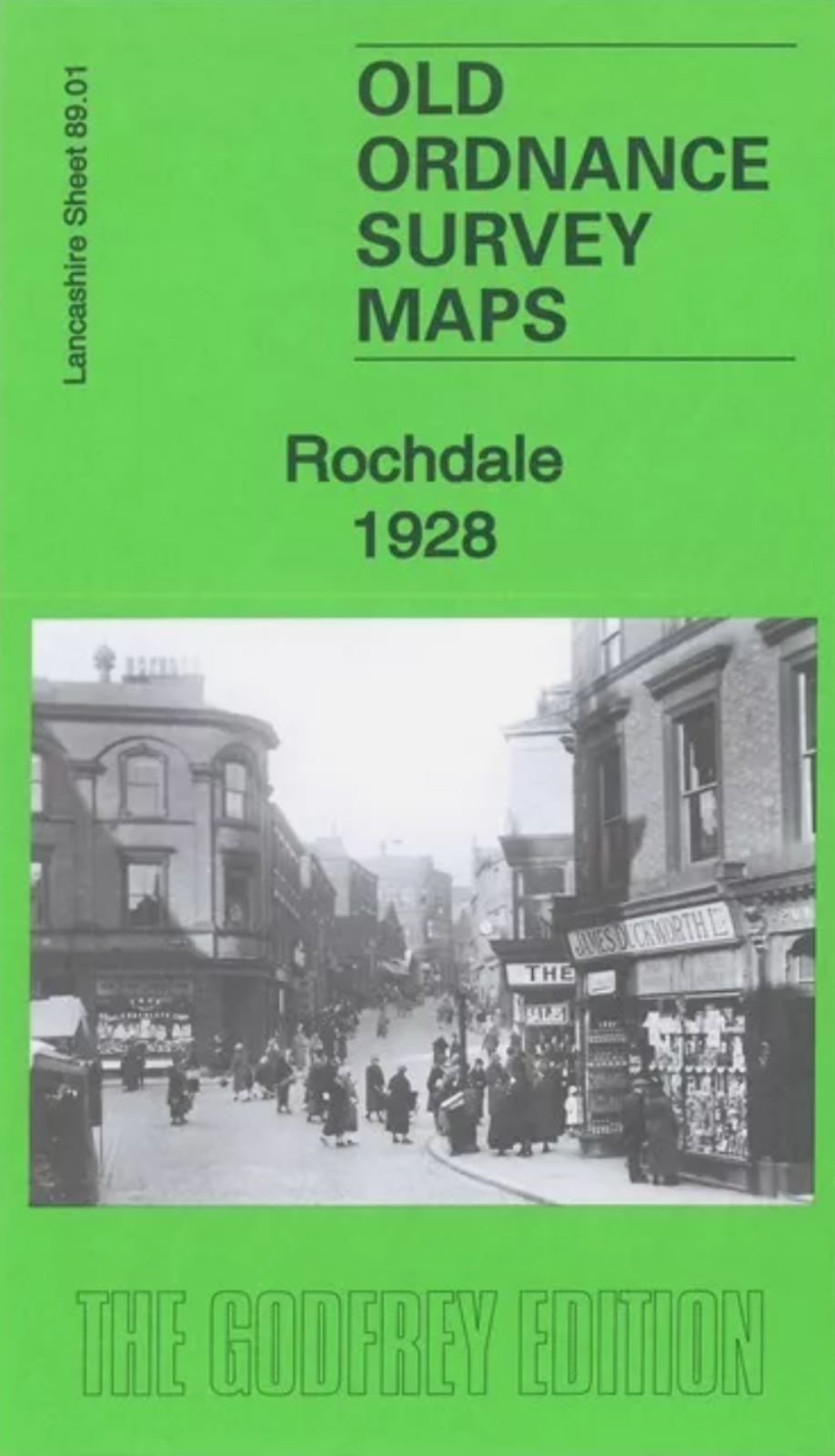
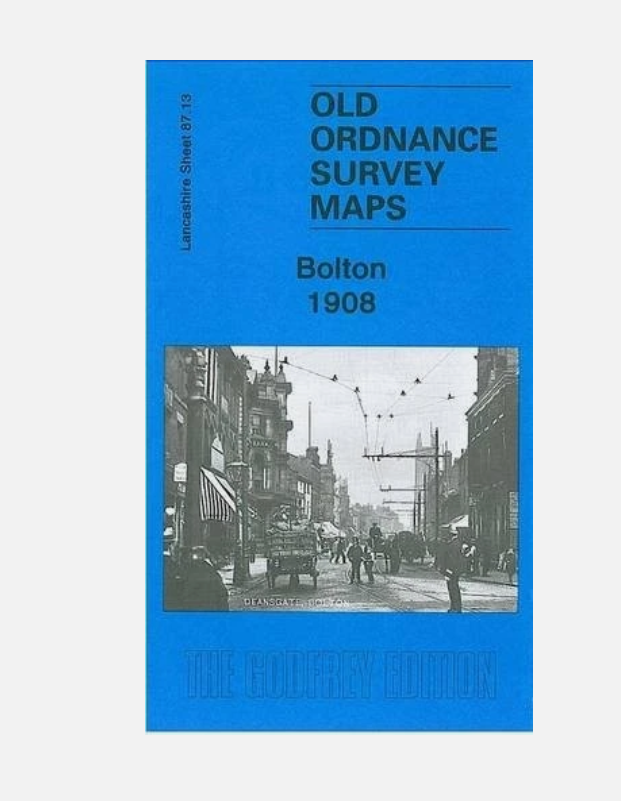
Here are the details of maps for central Bolton:\n\nLancashire 87.13a Bolton 1890 - published 2020; intro by Alan Godfrey. ISBN.978-1-78721-324-1 Lancashire 87.13b Bolton 1908 - published 1986, 2nd Edition 2007; intro by Alan Godfrey. ISBN.978-0-85054-046-8 Lancashire 87.13c Bolton 1928 - published 2021; intro by Chris E Makepeace. ISBN.978-1-78721-445-3 We have published three versions of this map, showing how the area changed across the years. The 1890 version is in full colour, taken from the beautiful 1st Edition OS handcoloured map.\nThe maps cover most of Bolton Town Centre, with coverage stretching from Dobson Road eastward to Dorset Street, and from Clarence Street southward to Burnaby Street and Lumsden Street. The many features include tramways, Town Hall, Market Hall, Trinity Street station, Great Moor Street station, Deansgate Goods station, Crook Street goods station (all with detail and track layouts), Moor Mills, Bridgeman Street Goods Warehouse, S.
Compare prices (2 shops)
| shop | Price | Action |
|---|---|---|
|
|
3,70 GBP | Go to shop |
|
|
4,95 GBP | Go to shop |
Similar products
-

MAP OF Bury 1928 Lancashire Sheet 88.09 NEW
From 3,49 EUR -
-
-

-

-
