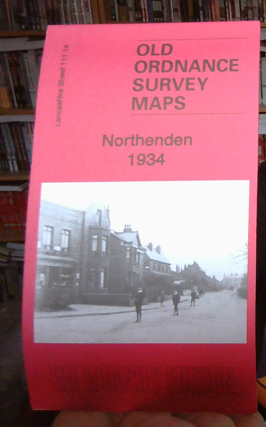
MAP OF Northenden 1934 Lancashire Sheet 111.14 NEW 9781787213630
Here are the details of maps for Northenden:\n\nLancs 111.14a Northenden 1916 - published 2020; intro by Chris Makepeace. ISBN.978-1-78721-337-1 Lancs 111.14b Northenden 1934 - published 2020; intro by Chris Makepeace. ISBN.978-1-78721-363-0 We have published two versions of this map, showing how the area changed across the years. The maps cvover an area being transferred from Cheshire to Manchester, as part of the Wythenshaw area.\nFeatures include railway with Northenden station, Rose Hill Ophthalmia School, most of Northenden village, St Wilfrid's church, River Mersey, Royalthorn, Moorend etc.\nThe map links up with sheets 111.10 Didsbury Palatine Rd to the north, 111.15 Cheadle North to the east, 111.13 Baguley to the west
Compare prices (2 shops)
| shop | Price | Action |
|---|---|---|
|
|
3,45 GBP | Go to shop |
|
|
3,45 GBP | Go to shop |
Similar products
-
-

-

MAP OF Heaton Norris 1934 Lancashire Sheet 111.12 NEW
From 3,45 EUR -

-

-
