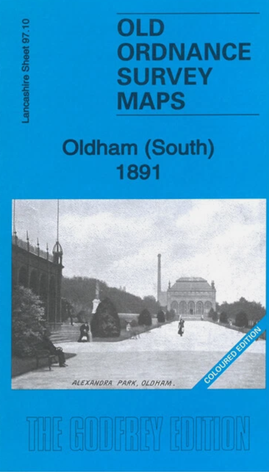
MAP OF Oldham (South) 1891 COLOURED EDITION LANCASHIRE SHEET 97.10 NEW
Here are the details of maps for Oldham South:\n\nLancs 97.10a Oldham (South) 1891 - published 2021; intro by Alan Godfrey. ISBN.978-1-78721-490-3 Lancs 97.10b Oldham (South) 1906 - published 1998; intro by Kevin McPhillips. ISBN.978-0-85054-991-1 We have published two versions of this map, showing how the area changed across the years. The 1891 map is in full colour, taken from the beautiful 1st Edition OS handcoloured map.\nThe maps cover the southern side of Oldham, with coverage stretching from Windsor Road eastward to Abbey Hills Road, and from Wellington Street southward to Hollins Road and Hathershaw. The many features include railway with Central and Clegg Street stations, Glodwick Brook, Glodwick, Alexandra Park, Brook Mills, Maple Mill, Earl Mill, Belgrave Mill, Castle Mill, Borough Mill, Pearl Mill, Glodwick Mill, Commercial Mill, Broadway Mills, Alma Mills, Copster Mill, Primrose Bank Mills, other mills, tramways, Chamber Colliery, Hulme Grammar School, Primrose.
Compare prices (1 shop)
| shop | Price | Action |
|---|---|---|
|
|
4,95 GBP | Go to shop |