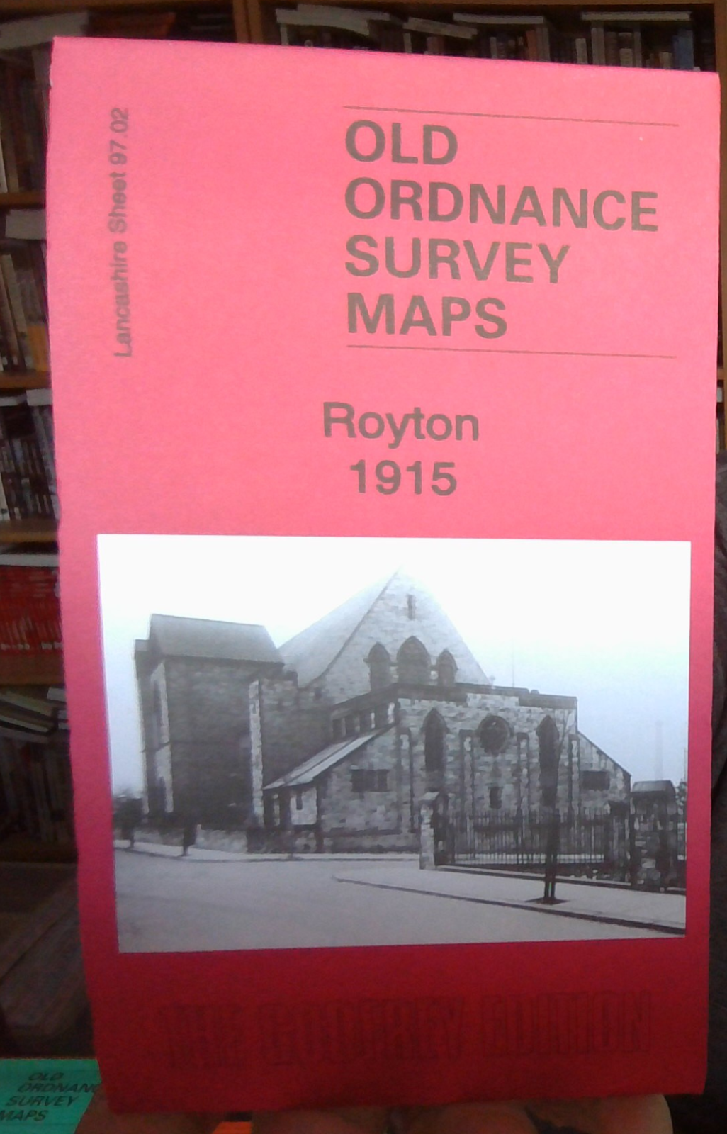
MAP OF Royton 1915 Lancashire Sheet 97.02 NEW 9781787215191
Here are the details of maps for Royton:\n\nLancashire 97.02a Royton 1915 - published 2022; intro by Alan Godfrey. ISBN.978-1-78721-519-1 Lancashire 97.02b Royton 1932 - published 2008; intro by Alan Godfrey. ISBN.978-1-84784-174-2 We have published two versions of this detailed map, showing how the area changed across the years.\nFeatures (on 1915 map) include railway with junction and Royton and Royton Junction stations, Higginshaw area, Windsor Mill, Holyrood Mill, gas works, Higginshaw Running Ground, Woodstock Mill, Broadbent, Heyside, Brownlow, St Mark's church, Springfield Mills, Royton town centre, Town Hall, Market Hall, St Paul's church, Delta Mill, tramways, Springhill Mill, St Aifan & St Oswald RC church, Dryclough House, Long Sight, Monarch Mill, Bee Mill, King Mill, Star Mill, Parkside Mill, Crown Brewery, Royton Ring Mill, Industry Mill, Norman Mill, part of Poor Law Institution, Booth Hill Mill, etc.\nThe map links up with sheets 89.14 Shaw & Crompto.
Compare prices (1 shop)
| shop | Price | Action |
|---|---|---|
|
|
4,50 GBP | Go to shop |