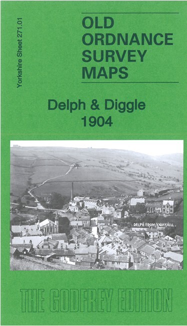
MAP OF New Delph & Tame Water 1916 Lancashire Sheet 97.04 by Chris E Makepeace
Here are the details of maps for New Delph:\n\nSheet 97.04 New Delph & Tame Water 1916 - published 2022; intro by Chris E Makepeace. ISBN.978-1-78721-552-8This detailed map covers New Delph, the southern part of Delph itself, Tame Water, and Thurston Clough.\nFeatures include railway with Delph and Dobcross stations, Bailey Mills, Tamebridge Mill, Fozzard Mill, Wall Hill, Tame Water Mill, Gatehead Mill, Lumb Mill, Rasping Mills, Knarr Mills, High Moor, High Moor Quarries, Doctorn Lane Head etc.\nThe map links up with maps for Delph and Dobcross in our Yorkshire series. See the Oldham page for details.
Compare prices (2 shops)
| shop | Price | Action |
|---|---|---|
|
|
3,49 GBP | Go to shop |
|
|
3,75 GBP | Go to shop |