MAP OF Ramsbottom 1927 Lancashire Sheet 79.12b by Nigel Jepson NEW 9781787217706
Here are the details of maps for Ramsbottom:\n\nLancashire Sheet 79.12a Ramsbottom 1908 - published 1994; intro by Nick Burton. ISBN.978-0-85054-638-5 Lancashire Sheet 79.12b Ramsbottom 1927 - published 2024; intro by Nigel Jepson. ISBN.978-1-78721-770-6 We have published two versions of this map, showing how the area changed across the years. The maps give very good coverage of the town centre and also include the outlying areas of Holcombe, Nuttall Lane and Carr.\nFeatures (from the 1927 map) include railway with station, town centre with individual buildings neatly shown, St Paul's church, Square Works, Holme Mill, Nuttall Hall, River Irwell, Ramsbottom Mills, Britannia Soap Works, Victoria Mill, Technical School, Nuttall Lane, St Andrew's church, Spring Wood Mill, Carr Bank, Tanners, Holcombe, Emanuel church, Peel Monument, Harcles Hill, etc.\nThe map links up with sheets 79.08 Stubbins to the north and 79.16 Holcombe Brook to the south.
Compare prices (2 shops)
| shop | Price | Action |
|---|---|---|

|
3,75 GBP | Go to shop |
|
|
4,50 GBP | Go to shop |
Similar products
-
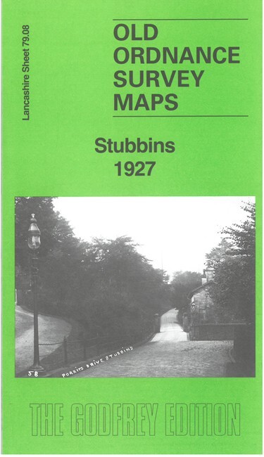
Stubbins 1927 Lancashire Sheet 79.08 by Nigel Jepson
From 3,75 EUR -

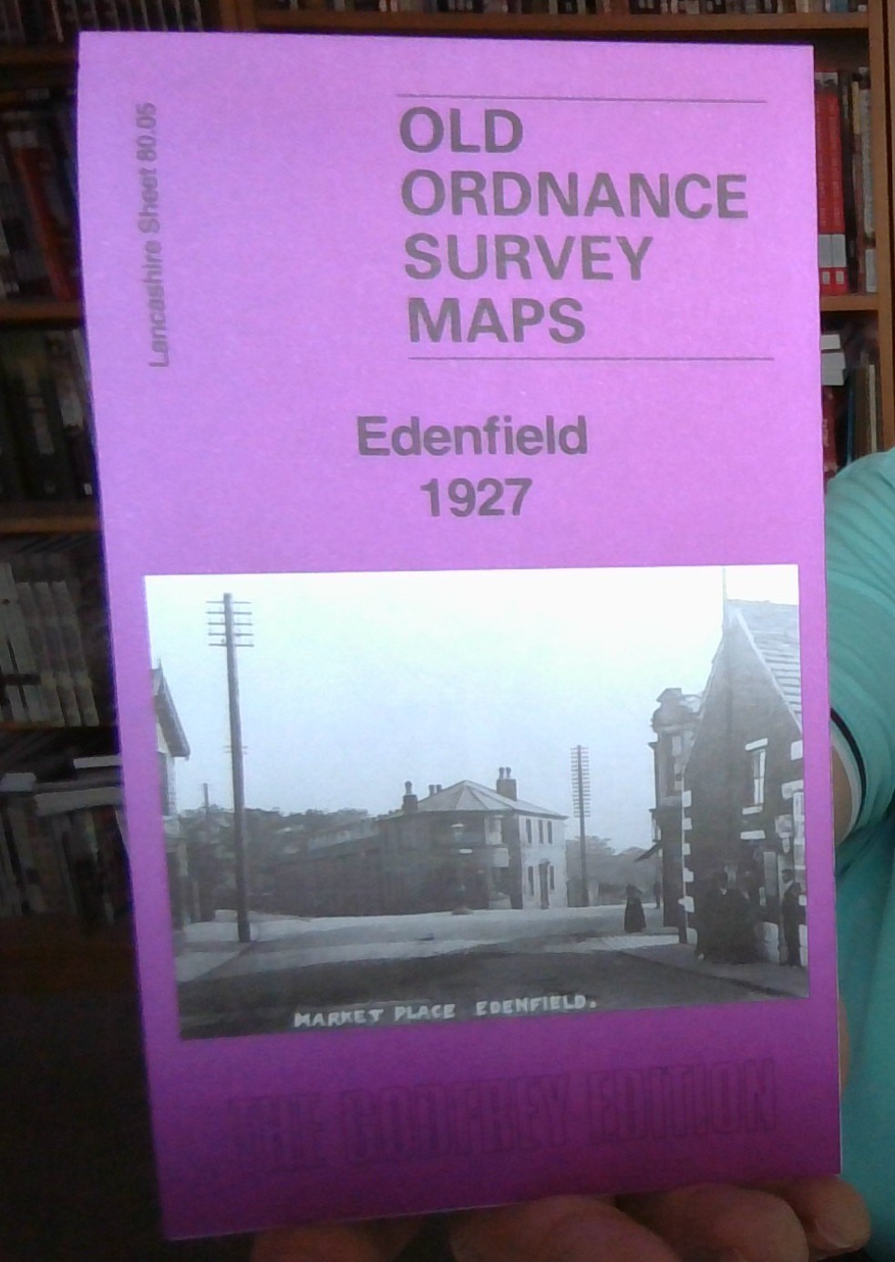
Edenfield 1927 Lancashire Sheet 80.05 by Nigel Jepson
From 3,75 EUR -

-
-

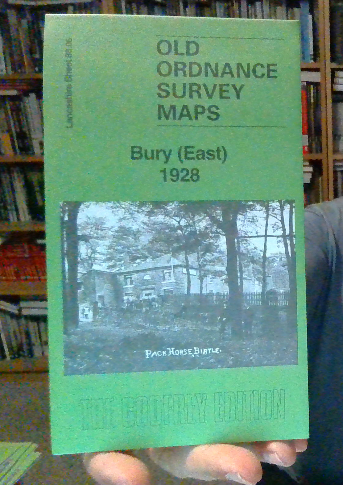
Bury (East) 1928 Lancashire Sheet 88.06 by Nigel Jepson
From 3,75 EUR -