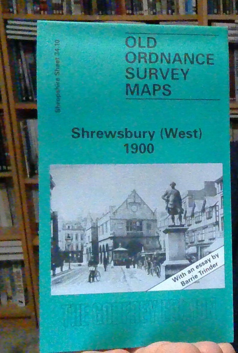
MAP OF Shrewsbury (West) 1925 Shropshire Sheet 34.10b NEW 9781787217720
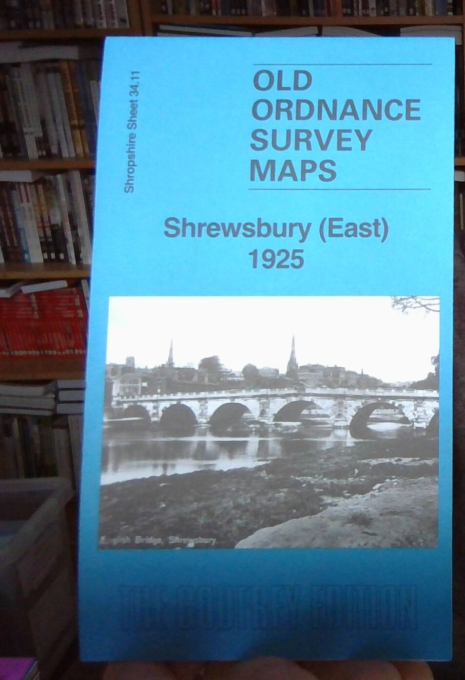
Here are the details of maps for Shrewsbury (West):\n\nShropshire Sheet 34.10a Shrewsbury (West) 1900 - published 1998; intro by Barrie Trinder. ISBN.978-0-85054-251-6 Shropshire Sheet 34.10b Shrewsbury (West) 1925 - published 2024; intro by Barrie Trinder. ISBN.978-1-78721-772-0 We have published two versions of this map, showing how the area changed across the years. The maps cover part of the town centre and the area to the west.\nFeatures include much of the town centre including Pride Hill, High Street, Shoplatch; The Quarry, Welsh Bridge, Kingsland Bridge, Frankwell, Kingsland, St Alkmonds church, Shire Hall, Smithfield, Shrewsbury School, Porthill, etc.\nThis map links up with Shropshire Sheets 34.11 Shrewsbury (East) to the east and 34.14 Meole Brace to the south.
Compare prices (1 shop)
| shop | Price | Action |
|---|---|---|
|
|
3,45 GBP | Go to shop |