
Luton & Darland 1932 Kent Sheet 19.12 by Pamela Taylor
This map covers the SE part of Chatham, part of Gillingham, Luton and Darland Hill.\nFeatures include Upper Luton, East Hill, Fort Darland, Darland, Darland Hill, Watling Street, Jezreel's Tower, Beacon Hill, Christ Church, chapels, schools, streets of housing off Rainham Road and Luton Road, etc.
Compare prices (1 shop)
| shop | Price | Action |
|---|---|---|
|
|
3,75 GBP | Go to shop |
Similar products
-

-

-

-

Sheerness 1931 Kent Sheet 13.06 by Pamela Taylor
From 3,75 EUR -
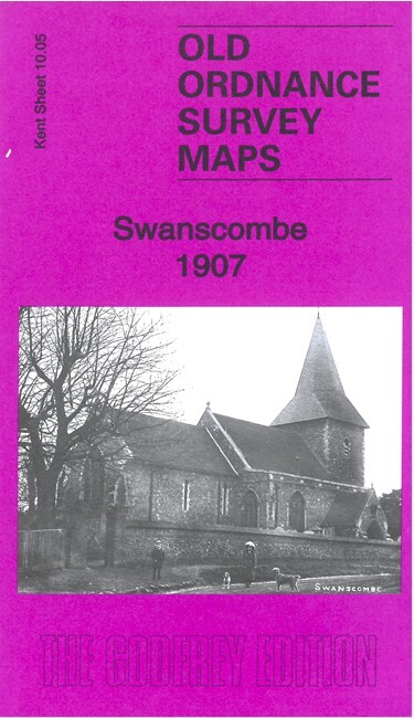
Swanscombe 1907 Kent Sheet 10.05 by Pamela Taylor
From 3,75 EUR -

Orpington 1868 Kent Sheet 16.07 by Pamela Taylor
From 3,75 EUR