
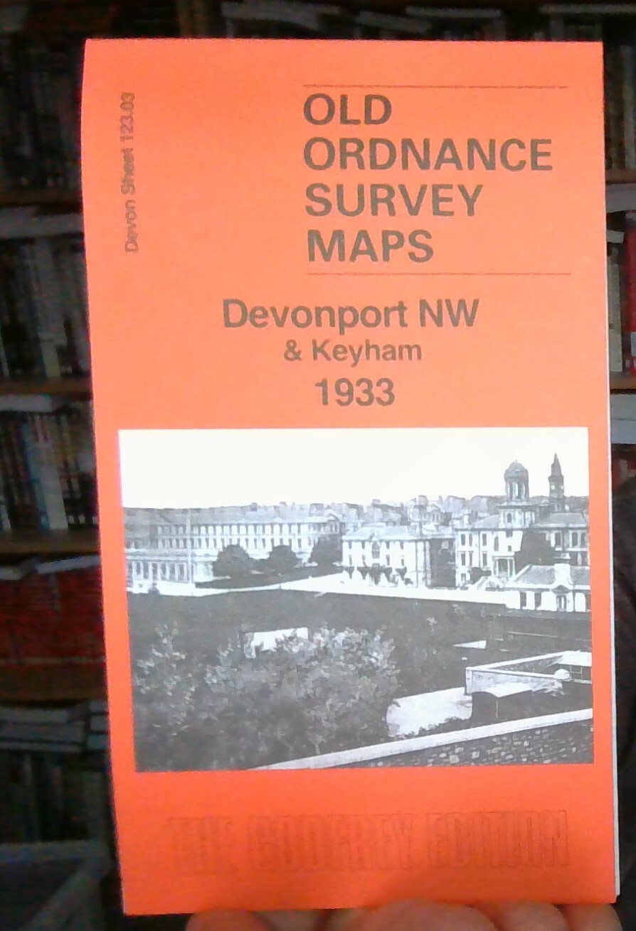
Devonport (North) 1933 Devon sheet 123.07b by Tony Painter
Here are the details of maps for Devonport (North):\n\nDevon 123.07a Devonport (North) 1893 - published 2001; intro by Richard Oliver. ISBN.978-1-84151-306-5 Devon 123.07b Devonport (North) 1933 - published 2025; intro by Tony Painter. ISBN.978-1-78721-815-4 We have published two versions of this map, showing how the area developed across the years. The maps cover much of the dockyard area of Devonport, with coverage extending from the Tamar Quay eastward to Crawford Road, and from St Levan Road southward to Market Street.\nFeatures include GWR railway with Devonport station, LSWR railway with Devonport station, Devonport Park, tramways, Morice Town, New Granby Barracks, Royal Albert Hospital, Stoke church, Station Hospital, Royal Naval Hospital, St Peter's church, Stonehouse Lake, part of Molesworth Ward, Clarence Ward, Tamar Ward, Morice Ward, part of St Aubyn Ward, Royal British Orphan Asylum, St Michael's church, Old Granby Barracks, Raglan Barracks.\nNote that part of .
Compare prices (2 shops)
| shop | Price | Action |
|---|---|---|
|
|
3,45 GBP | Go to shop |
|
|
3,75 GBP | Go to shop |
Similar products
-
-

-
MAP OF EXMOUTH 1933 DEVON SHEET 103.01 NEW 9781787219571
From 3,70 EUR -

-

-
