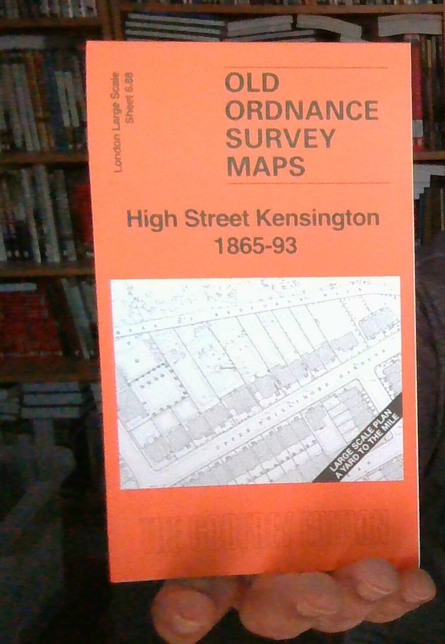
MAP OF High Street Kensington 1865-93 London Large Scale Sheet 6.88 NEW
Here are the details of the map for Kensington:\nLondon Large Scale Series Sheet 6.88 High Street Kensington 1865-93 - published 2025. Intro by Alan Godfrey. ISBN.978-1-78721-828-4 This detailed map covers the High Street Kensington area. Features include railway with High Street Kensington station, Holland House, part of Holland Park, Argyll Lodge, Holly Lodge, Thornwood Lodge, Bute House, Observatory House and Observatory, Campden House ruins, St Mary's RC Chapel, St Mary Abbott's Church, Scarsdale House, York House, Maitland House, Kensington Square, Kensnington Palace Barracks, etc.\nOn the reverse we include a reduced version of the 1893 map for the same area, together with a specially written introduction to the history of the area.\nThe map links up with sheet Kensington Albert Hall to the east, Kensington Earls Court Rd to the south.
Compare prices (2 shops)
| shop | Price | Action |
|---|---|---|
|
|
3,45 GBP | Go to shop |
|
|
3,75 GBP | Go to shop |
Similar products
-

Huy 1865 by Alan Godfrey
From 3,75 EUR -

-

-

-

-
