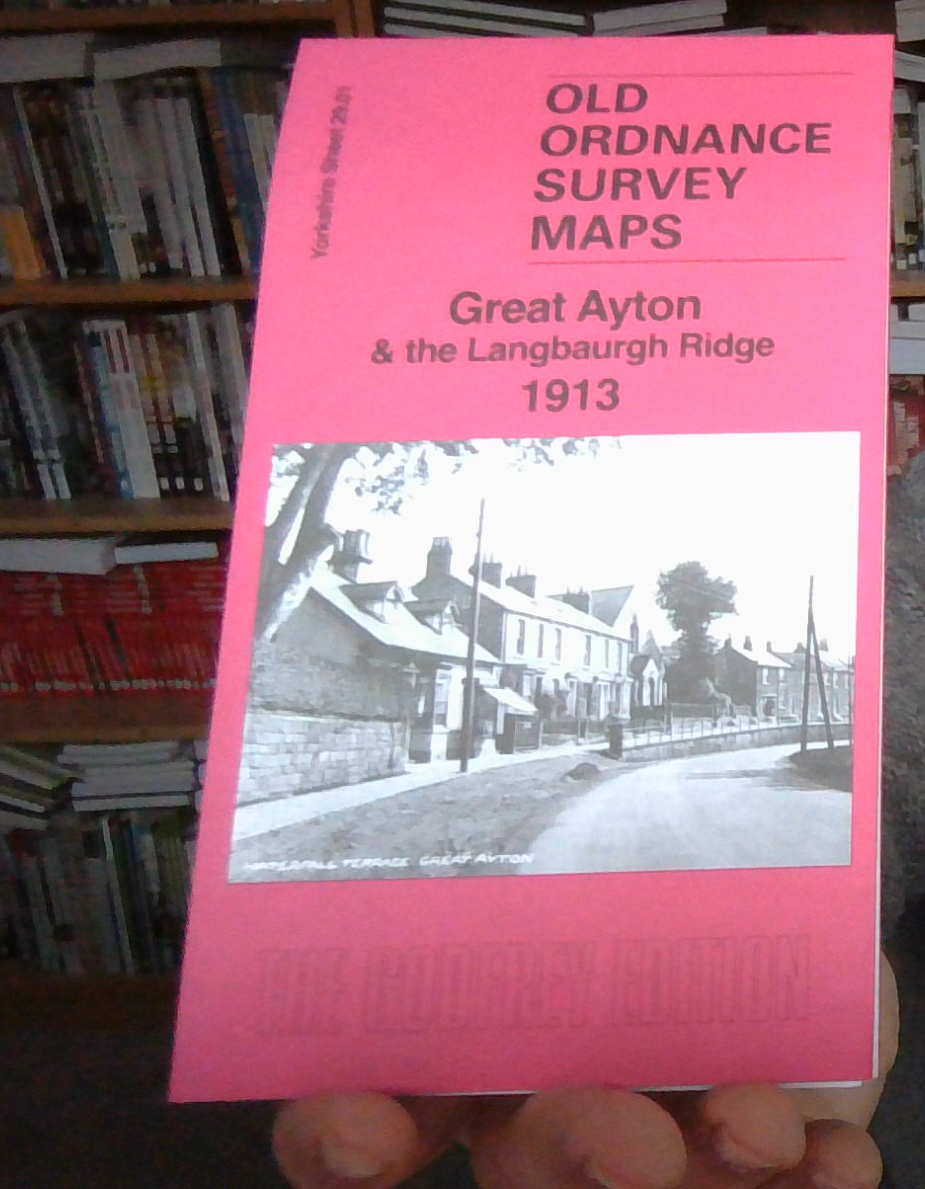
MAP OF Great Ayton & the Langbaurgh Ridge 1913 Yorkshire Sheet 29.01 NEW
This detailed map is double-sided for maximum coverage. It covers the village of Great Ayton and the area to the north, to the Langbaurgh Ridge.\nFeatures include North Eastern Railway's Ayton Branch, Cliff Ridge Wood, Rye Hill, Cliff Ridge Siding, Chapel Well, Aerial cables under construction, industrial tramways, Lanbaurgh Whinstone Quarries, Langbaurgh village, California, Great Ayton village, High Green, North of England Agricultural School, All Saints church, Christ Church, Low Green, Ayton Hall, Ayton Houise, Manor House, etc
Compare prices (2 shops)
| shop | Price | Action |
|---|---|---|
|
|
3,45 GBP | Go to shop |
|
|
3,75 GBP | Go to shop |
Similar products
-
-
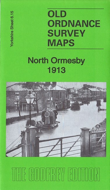
North Ormesby 1913 Yorkshire Sheet 6.15 by Alan Godfrey
From 3,75 EUR -

-

-

-
