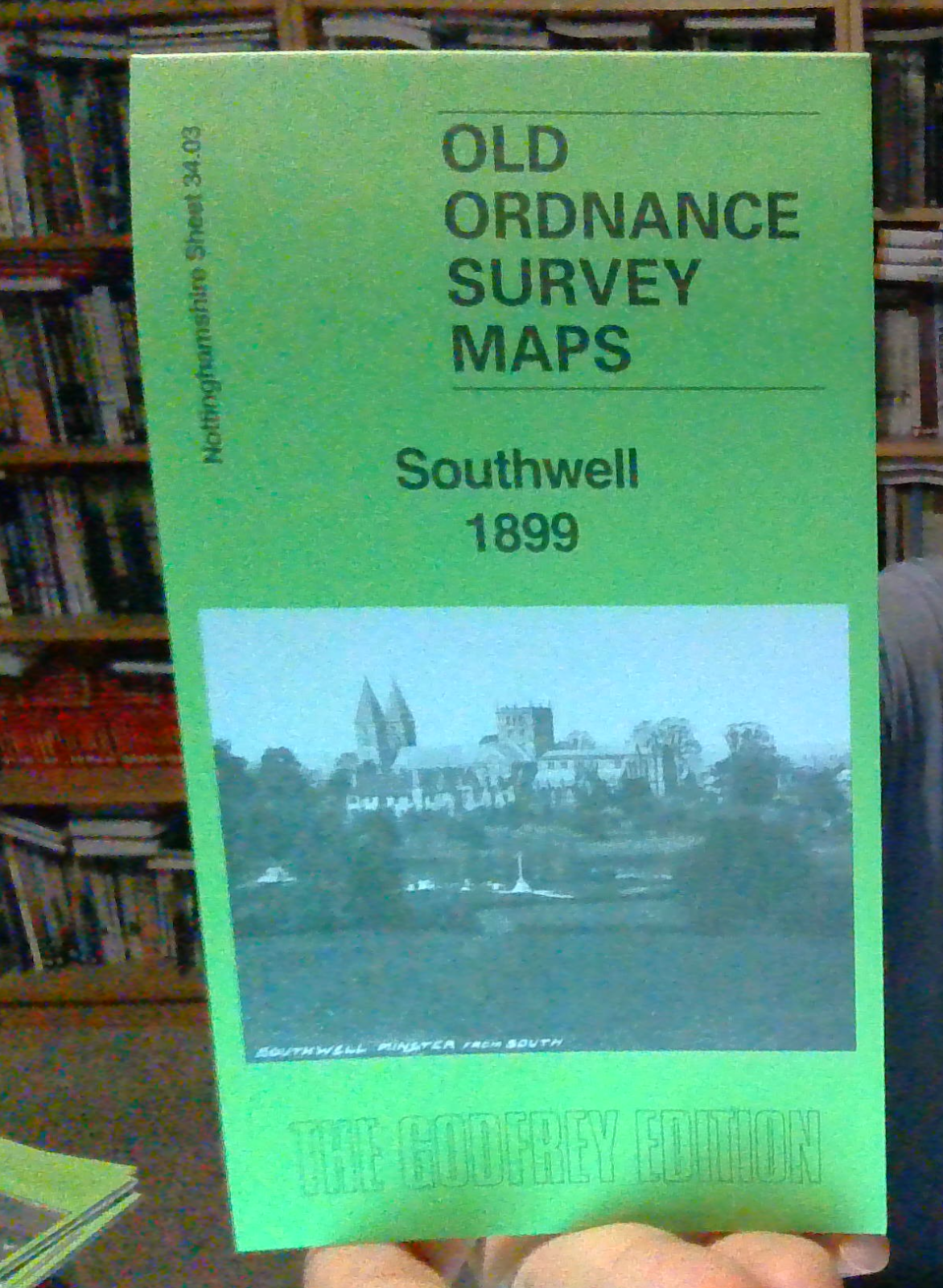
MAP OF Southwell 1899 Nottinghamshire Sheet 34.03 by Alan Godfrey
Here are the details of maps for Southwell:\n\nNotts Sheet 34.03 Southwell 1899 - published 2025; intro by Alan Godfrey. ISBN.978-1-78721-905-2 This detailed maps covers most of the cathedral town of Southwell, with coverage extending from the Minster and its surrounding houses westward to Westhorpe.\nFeatures include the Minster, Palace ruins, Normanton Prebend House, Hill House, Manor House, Elmfield House, Hightown, Methodist Chapel, Park House, Holy Trinity Church, Baptist Chapel, Norwood House, Norwood Farm, The Hall, St Catherine's Well, etc. Note that it does not include the railway or Union Workhouse. Within the town individual houses are shown, including the various prebendary houses, but not named.
Compare prices (2 shops)
| shop | Price | Action |
|---|---|---|
|
|
3,45 GBP | Go to shop |
|
|
3,75 GBP | Go to shop |
Similar products
-
Calne 1899 Wiltshire Sheet 27.05 by Alan Godfrey
From 3,75 EUR -

Marlborough 1899 Wiltshire Sheet 29.09 by Alan Godfrey
From 3,75 EUR -

Tetbury 1899 Gloucestershire Sheet 58.13 by Alan Godfrey
From 3,75 EUR -

Devizes 1899 Wiltshire Sheet 34.13 by Alan Godfrey
From 3,75 EUR -

-
