
MAP OF Chippenham (South) & Lacock 1922 WILTSHIRE SHEET 26.02 NEW 9781787215290
Here are the details of maps for Chippenham and Lacock:\n\nWiltshire 20.14 Chippenham 1899 - published 1998; intro by Alan Godfrey. ISBN.978-0-85054-959-1 Wiltshire 26.02 Chippenham (South) & Lacock 1899 - published 1998; intro by Alan Godfrey. ISBN.978-1-84151-003-3 We have published two maps for Chippenham. These link up with each other to provide good coverage of the town.\nSheet 20.14 covers the centre and northern part of Chippenham, with coverage stretching from the Market Place northward to Hardenhuish House, and from The Folly eastward to Cocklebury Farm. Features include St Andrew's church, The Ivy, Lowden Hill, High Street area, Monkton House, Condensed Milk Factory, railway with station, engine shed, Railway Signal Works, Bacon Factory, Landsend area, Langley Burrell Within parish, St Paul's church, The Hamlet area, Cocklebury Farm, Pew Hill, Woodlands area, Lowden Farm, Greenway Lane Farm, Hardenhuish House and Park, St Nicholas church etc. On the reverse we.
Compare prices (2 shops)
| shop | Price | Action |
|---|---|---|
|
|
3,45 GBP | Go to shop |
|
|
3,45 GBP | Go to shop |
Similar products
-
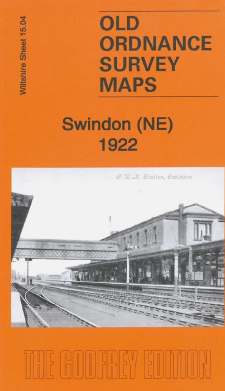
MAP OF Swindon NE 1922 Wiltshire Sheet 15.04 NEW
From 3,45 EUR -
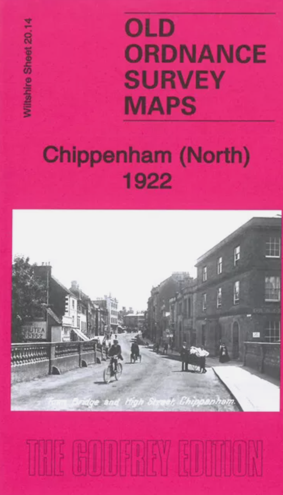
MAP OF Chippenham (North) 1922 Wiltshire Sheet 20.14 NEW
From 3,45 EUR -

-
-
-
