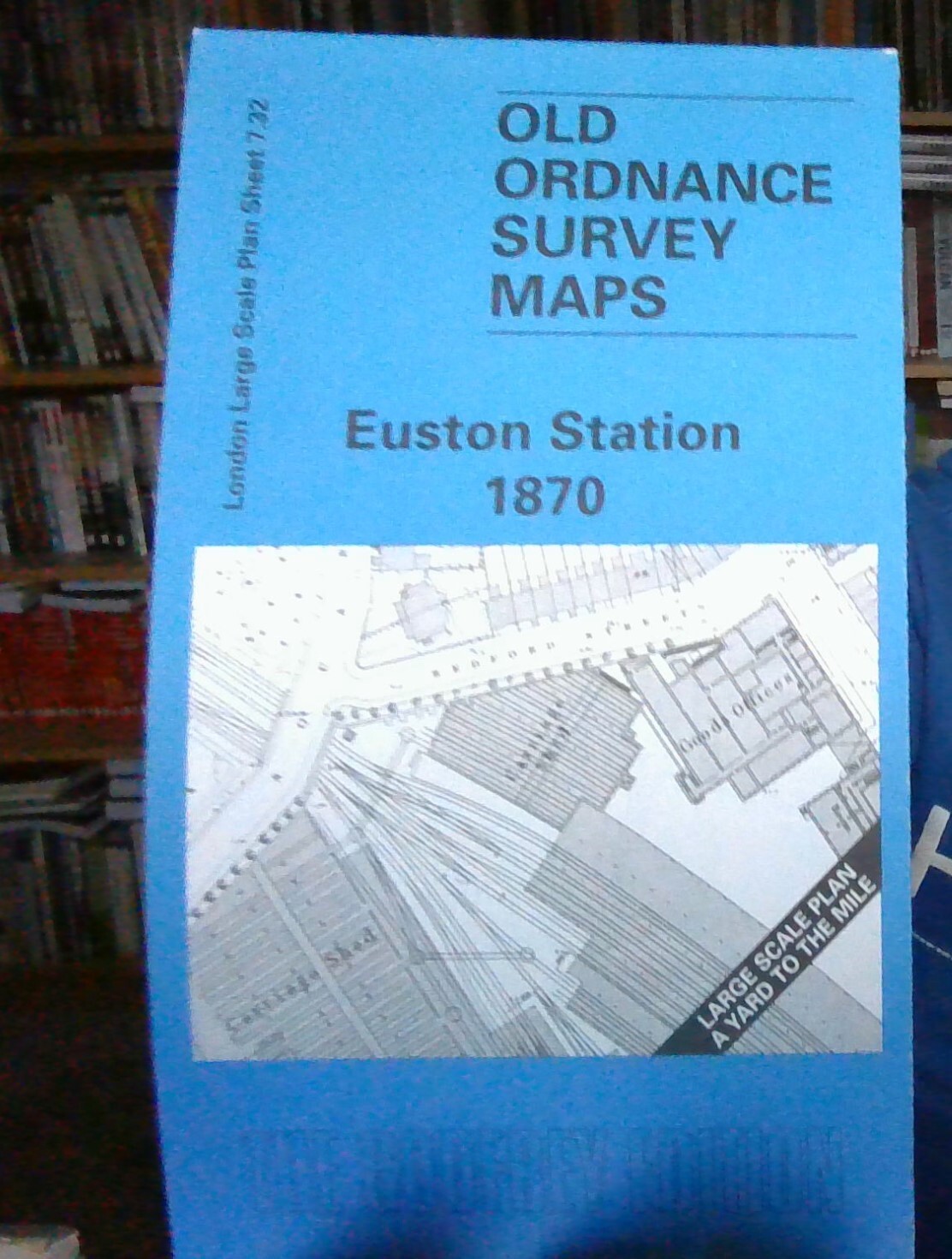
MAP OF Euston 1870 London Large Scale Sheet 7.32 NEW 9781841510286
Here are the details of the map for the Euston area:\n\nLondon Large Scale Series Sheet 7.32 Euston Station 1870 - published 1998. Intro by Alan Godfrey. ISBN.978-1-84151-028-6 As the title suggests, this highly detailed map at a 'Yard to the Mile' scale is dominated by Euston station. Virtually all the station is shown, with the complete track layout, and even the interior layout of the station building, carriage sheds and Goods Offices. Coverage on the map extends north to Crescent Place, westward to the Outer Circle on the east side of Regent's Park. Other features on the map include St James church Hampstead Road, St Mary's church Seymour Street, Ampthill Square, Harrington Square, Cumberland Market, Regents Canal and Regents Park Basin, Regent's Park Barracks, Christ Church Albany Street, St Katharine's Collegiate church. On the reverse we include street directory entries for Albany Street, Ampthill Square, Augustus Street, Cardington Street, Cumberland Market, Edward Stree.
Compare prices (3 shops)
| shop | Price | Action |
|---|---|---|
|
|
3,45 GBP | Go to shop |
|
|
3,45 GBP | Go to shop |
|
|
3,75 GBP | Go to shop |
Similar products
-

Euston and Regent's Park 1870 : London Sheet 049.1
From 3,75 EUR -
St Marylebone 1870 London Large Scale Sheet 7.51
From 3,75 EUR -

Camden Lock 1870 London Large Scale Sheet 7.12
From 3,75 EUR -

Fitzroy Square 1870 London Large Scale Sheet 7.42
From 3,75 EUR -
-

Central Hackney 1870-93 London Large Scale Sheet 7.08
From 3,75 EUR