

MAP OF Hadleigh 1904 Suffolk Sheet 74.14 by Robert Malster NEW
Here are the details of maps for Hadleigh:\n\nSuffolk Sheet 74.14 Hadleigh 1904 - published 1999; introduction by Robert Malster. ISBN 978-1-84151-112-2 This detailed map covers the small south Suffolk town of Hadleigh, and is double-sided for maximum coverage. The map includes the town centre and extends a mile or so east into open country and as far as Valley Farm. Features include the station, malthouses, High Street, St Mary's church, coir matting factory, Angel Street, Tinker's Lane, Toppesfield Hall, George Street, Frog Hall, French's Farm, Durrant's Farm. On the reverse we include a good portion of adjacent sheet 74.13 and this covers the western part of the town, incl River Brett, Bridge Street, Broom Hill, Holbecks, cemetery, Hadleigh Bridge, Friars Hall, Hadleigh Hall. We also include a commercial directory.
Compare prices (2 shops)
| shop | Price | Action |
|---|---|---|

|
3,45 GBP | Go to shop |
|
|
3,75 GBP | Go to shop |
Similar products
-

Southwold 1927 Suffolk Sheet 29.14 by Robert Malster
From 3,75 EUR -
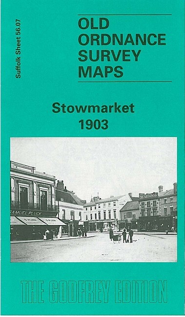
Stowmarket 1903 Suffolk Sheet 56.07 by Robert Malster
From 3,75 EUR -

Saxmundham 1925 Suffolk Sheet 50.13 by Robert Malster
From 3,75 EUR -

Brandon 1903 Suffolk Sheet 6.16 by Robert Malster
From 3,75 EUR -
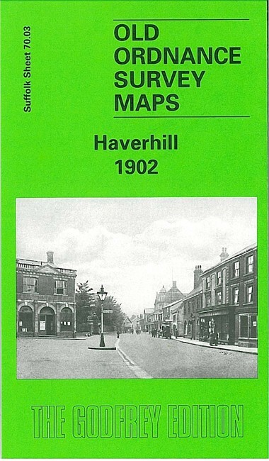
Haverhill 1902 Suffolk Sheet 70.03 by Robert Malster
From 3,75 EUR -

Aldeburgh 1925 Suffolk Sheet 60.16 by Robert Malster
From 3,75 EUR