
MAP OF Guildford 1895: Surrey Sheet 23.16 by Alan Godfrey NEW
Here are the details of maps for Guildford:\n\nSurrey Sheet 23.16a Guildford 1895 - published 1999; intro by Alan Godfrey. ISBN.978-1-84151-136-8 Surrey Sheet 23.16b Guildford 1913 - published 2023; intro by Tony Painter. ISBN.978-1-78721-670-9 We have published two versions of this map, showing how the area changed across the years.\nThe maps cover the centre of Guildford. Coverage extends from Stag Hill eastward to London Road, and from Guildford Bridge and High Street northward to Wood Bridge, Woodbridge Park and St John's church.\nFeatures (from 1913 version) include town centre with individual buildings neatly shown, railways with station, junctions and engine shed, London Road station, cattle market, St Nicholas church, castle remains, St Mary's church, Royal Grammar School, Woodbridge Park, Woodbridge House, Stoke Park, Charlotteville, Royal Surrey County Hospital, Guildford Park Farm etc.
Compare prices (1 shop)
| shop | Price | Action |
|---|---|---|
|
|
4,50 GBP | Go to shop |
Similar products
-

-
-

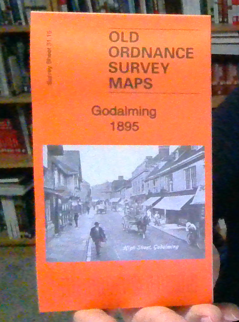
Godalming 1895 Surrey Sheet 31.15 by Alan Godfrey
From 3,75 EUR -

-

Thames Ditton 1895 Surrey Sheet 12.07 by Alan Godfrey
From 3,75 EUR -
