
MAP OF Radstock 1902: Somerset Sheet 20.15, Bone, Mike NEW
Here are the details of maps for Radstock:\n\nSomerset Sheet 20.15 Radstock 1902 - published 1994; introduction by Mike Bone. ISBN.978-1-84151-245-7 This detailed map provides good coverage of Radstock and the surrounding area. Coverage stretches east to include Writhlington and west beyond Middle Pit Colliery and Wells Road. Features include Radstock town centre with its busy railway lines, the Collieries of Tyning, Ludlow's, Upper Writhlington and Lower Writhlington, St Nicholas's Church, St Mary Magdalen's Church, Tramway, Radstock Mill, and Brewery.\nWe do not think of Somerset as an industrial county, but the Radstock map is certainly an industrial one, with its 4 collieries, 2 wagon works, complex of railways, and miners' housing on the hillside.\nThe map links up with Somerset sheet 20.14 Midsomer Norton 1902.
Compare prices (2 shops)
| shop | Price | Action |
|---|---|---|
|
|
3,45 GBP | Go to shop |
|
|
3,75 GBP | Go to shop |
Similar products
-

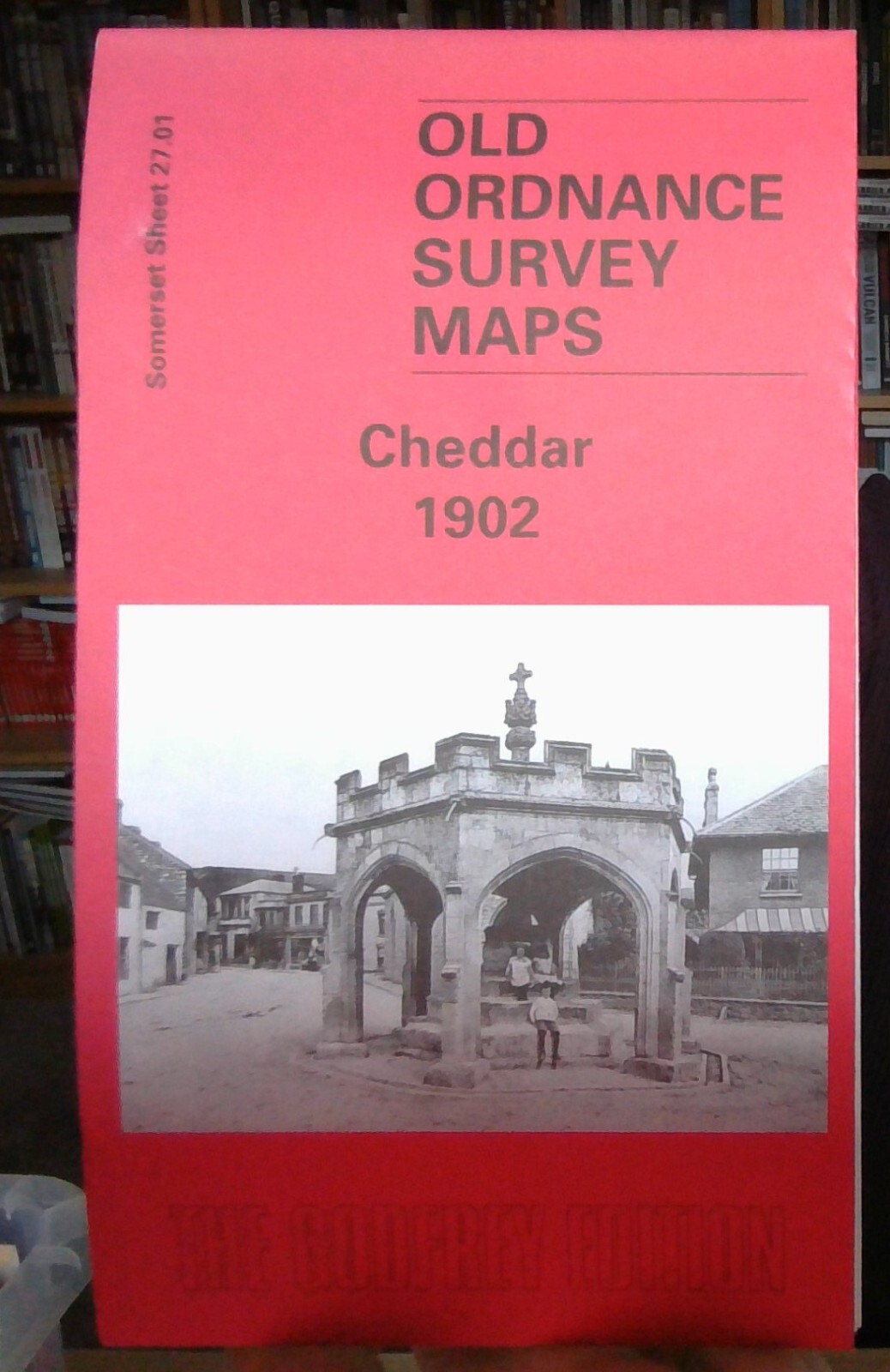
Cheddar 1902 Somerset Sheet 27.01 by Mike Bone
From 3,75 EUR -
-

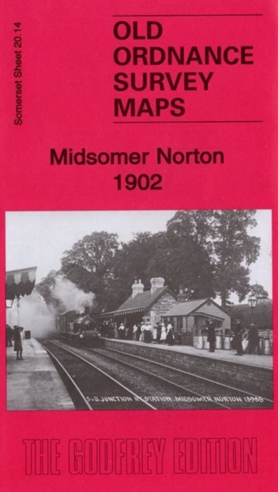
Midsomer Norton 1902 Somerset Sheet 20.14 by Mike Bone
From 3,75 EUR -
-

-
