
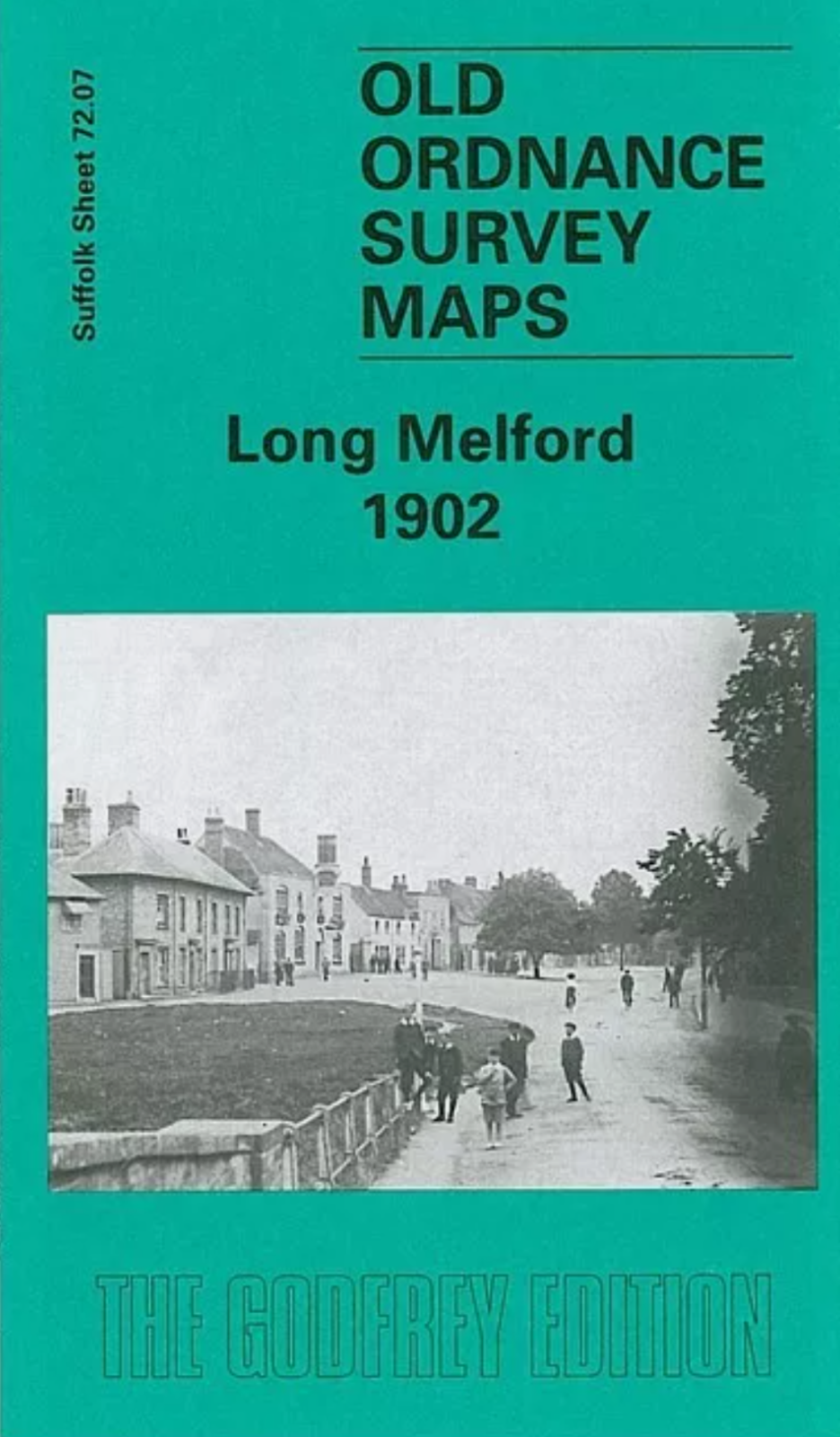
MAP OF Long Melford 1902 Suffolk Sheet 72.07 by Robert Malster NEW
This detailed map covers the attractive and popular village of Long Melford, strung out in linear fashion along the Sudbury road. Our map is double-sided to provide maximum coverage and the main map covers an area stretching from Rotten Row and Station Road (regrettably the station itself is not covered) northward a mile to Brook House and Bull Lane. Features on this map include several malthouses and the two railway lines fanning out either side of the main road. The backing map takes coverage further north and includes Melford Hall, part of Melford Park, Melford Green, Westgate Lane and (at the top of the map) Holy Trinity church. A directory of Long Melford is also included.
Compare prices (2 shops)
| shop | Price | Action |
|---|---|---|

|
3,45 GBP | Go to shop |
|
|
3,75 GBP | Go to shop |
Similar products
-

-

-

Sudbury 1902 Suffolk Sheet 72.15 by Robert Malster
From 3,75 EUR -
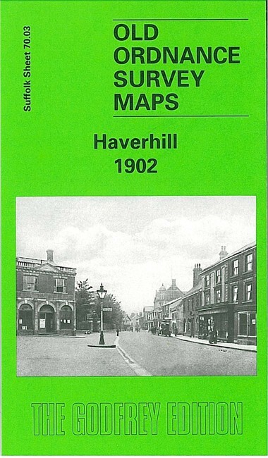
Haverhill 1902 Suffolk Sheet 70.03 by Robert Malster
From 3,75 EUR -

-
