
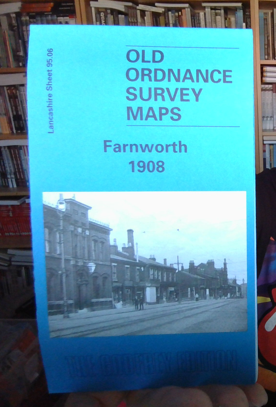
MAP OF Farnworth 1908 LANCASHIRE SHEET 95.06a
Here are the details of maps for Farnworth:\n\nLancashire 95.06a Farnworth 1908 - published 2001; intro by Paul Hindle. ISBN.978-1-84151-289-1 Lancashire 95.06b Farnworth 1927 - published 2021; intro by Alan Godfrey. ISBN.978-1-78721-452-1 We have published two version of this map, showing how the area changed across the years.\nThe maps cover much of the Lancashire town of Farnworth. Coverage stretches from Dixon Green eastward to Clamourclough Mill, and from Bentley Street southward to Lark Hill. This is a busy map, covering most of the town centre, and major features include Farnworth station, tramways and depot, Farnworth Park, Darley Hall, Darley Hall Pottery, St John's church, Limefield Mill, Clamourclough Tunnel, Pandora Mills, Causeway Mills, Egyptian Mills, Oak Mills, Drake Mill, Marvels Brow Oil Works, Market Place, Dixon Green Mill, New Bury, Century Mill, Harrowby Mills, Albert Mills, numerous smaller mills, etc.\nThe map links up with Lancashire Sheets 95.02 Mo.
No offers available for this product at the moment.