
MAP OF Bramley 1906: Yorkshire Sheet 217.03a (Sheet map, 2001) NEW
Here are the details of maps for Bramley:\n\nYorkshire Sheet 217.03a Bramley 1906 - published 2001; intro by Alan Godfrey. ISBN.978-1-84151-333-1 Yorkshire Sheet 217.03b Bramley 1933 - published 2010; intro by Ruth Strong. ISBN.978-1-84784-374-6 We have published two versions of this map, showing how the area developed across the years.\nThis detailed map covers much of Bramley, just west of Leeds, and extends west to cover the eastern fringe of Stanningley and a small portion of Pudsey. Coverage stretches from Pudsey's Low Town station eastward to Lower Town Street in Bramley. Stanningley Road runs across the map with tramway. The GNR railway also runs across it, with Bramley station, and Stanningley Junction is at the west of the map; the Pudsey & Low Moor Branch is shown as far as Low Town station Pudsey. Features include Priestley Mill, cricket ground, Swinnow HouseLowtown, Wharrals, Intake Road at Pudsey; St Thomas church, Stanningley Park, Swinnow at Stanningley; .
Compare prices (2 shops)
| shop | Price | Action |
|---|---|---|
|
|
3,45 GBP | Go to shop |
|
|
3,45 GBP | Go to shop |
Similar products
-

-
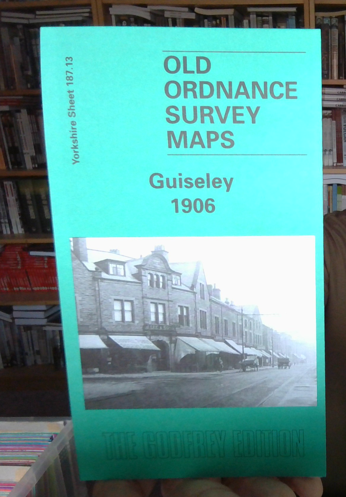
MAP OF GUISELEY 1906 YORKSHIRE SHEET 187.13 NEW
From 4,50 EUR -

MAP OF Stanningley 1906: Yorkshire Sheet 217.02 NEW
From 4,50 EUR -
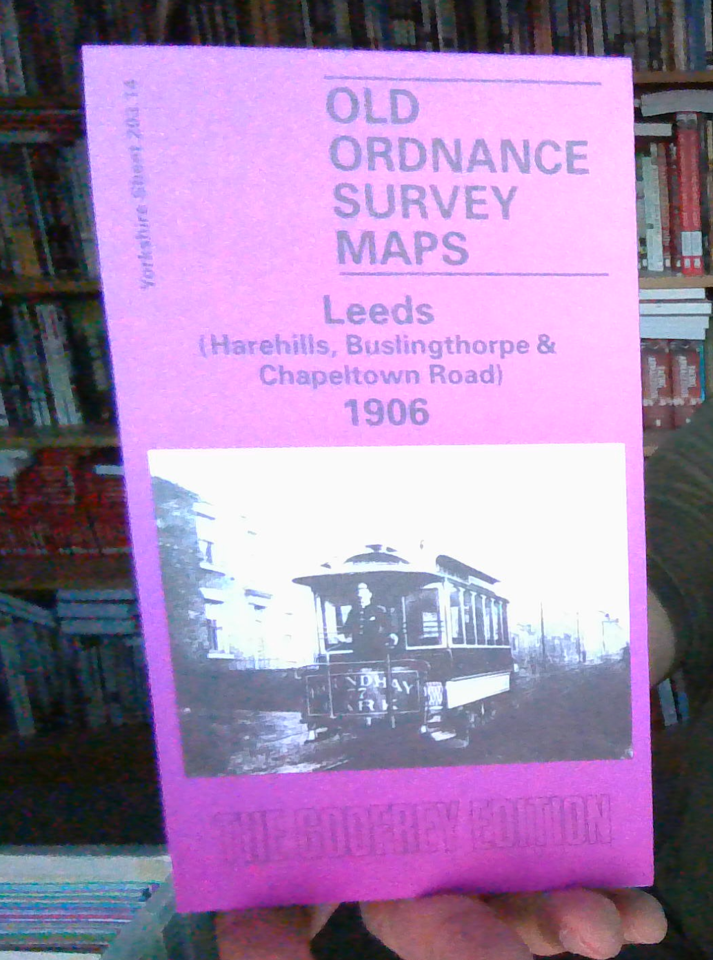
MAP OF LEEDS HAREHILLS 1906 YORKSHIRE SHEET 203.14
From 3,70 EUR -

-
