

Horley 1912 Surrey Sheet 41.04 by Alan A Jackson
Horley station, on the London-Brighton line, opened in 1841 and this map shows the village that grew up around it. The railway runs north-south through the map, and the station is almost in the centre; housing development is shown to the north and west, as far as Horley Street. A few houses are also being built to the east near the Balcombe Road. To the SW is Gatwick manor house, and the northern part of Gatwick Race Course, today lost beneath the airport. There is a directory of Horley on the reverse, together with an introduction by Alan Jackson.
Compare prices (1 shop)
| shop | Price | Action |
|---|---|---|

|
3,75 GBP | Go to shop |
Similar products
-

-
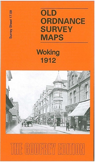
Woking 1912 Surrey Sheet 17.09 by Alan Godfrey
From 3,75 EUR -

-

-
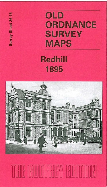
Redhill 1895 Surrey Sheet 26.16 by Alan A Jackson
From 3,75 EUR -
