
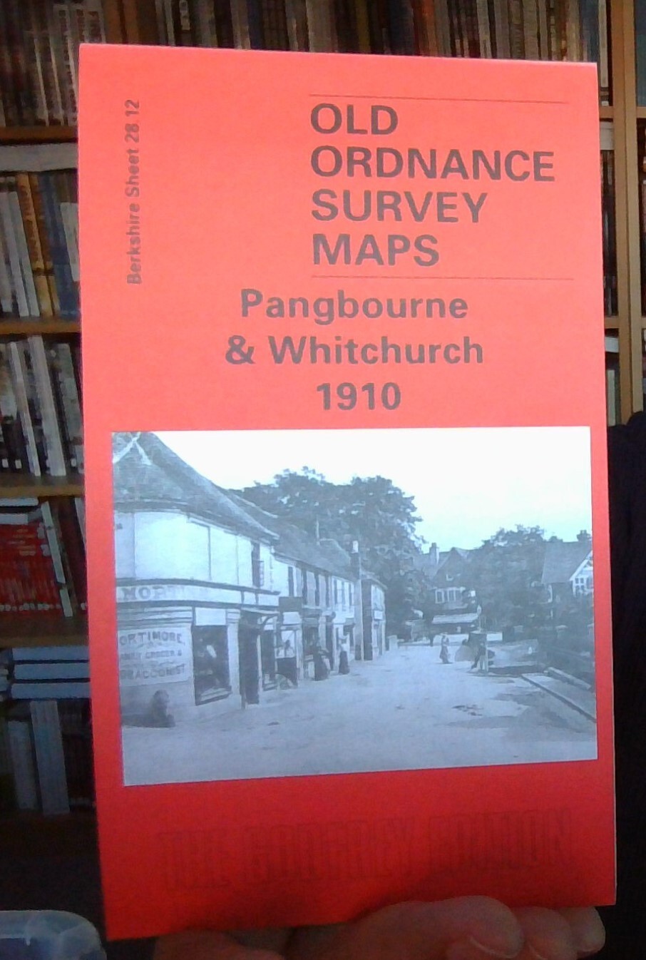
MAP OF Pangbourne & Whitchurch 1910 Berkshire Sheet 28.12 by Jean Debney NEW
Delve into the local history of Pangbourne & Whitchurch with this detailed street map and directory from 1910, Berkshire Sheet 28.12. Crafted by the renowned Jean Debney, this piece of historical cartography is a treasure for anyone interested in the past. Published by Alan Godfrey Maps, it's a testament to the precision and artistry of early 20th-century mapping.\n\nThis map is a must-have for enthusiasts of history and collectors alike. It provides a glimpse into the streets and landmarks that shaped the narrative of these Berkshire villages over a century ago. Whether for research, a passion for genealogy, or simply a love of history, this map serves as a unique window into the past.\nHere are the details of maps for Pangbourne:\nBerkshire Sheet 28.12 Pangbourne & Whitchurch 1910 - published 2002; intro by Jean Debney. ISBN.978-1-84151-405-5 This detailed map is split between Berkshire and Oxfordshire, with the River Thames forming the boundary. The main part of the m.
Compare prices (2 shops)
| shop | Price | Action |
|---|---|---|

|
3,45 GBP | Go to shop |
|
|
3,75 GBP | Go to shop |
Similar products
-

-

Ascot 1910 Berkshire Sheet 39.16 by Tony Painter
From 3,75 EUR -

Abingdon 1910 Berkshire Sheet 10.06 by Barrie Trinder
From 3,75 EUR -
-

-
