
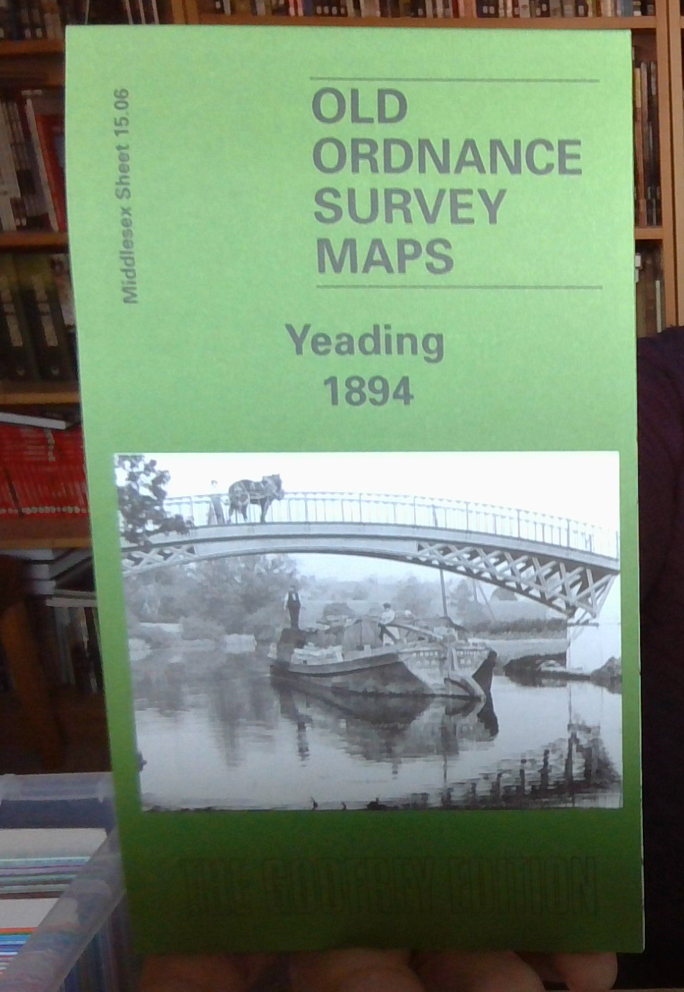
MAP OF Yeading 1894: Middlesex Sheet 15.06..., Hounsell, Peter NEW 9781841514338
Explore the historical landscape of Yeading with the 'Yeading 1894: Middlesex Sheet 15.06' map, a detailed travel map published by Alan Godfrey Maps in 2002. This folded sheet map, authored by Peter Hounsell, offers a glimpse into the past with its accurate representation of the local history and transportation networks from over a century ago. \n\nWith dimensions of 220mm, the map is a valuable tool for enthusiasts of local history and those with a passion for the Victorian era's cartography. The release title 'Yeading 1894: Middlesex Sheet 15.06 (Old O.S. Maps of Middlesex)' indicates the inclusion of this specific piece in a series of historical maps, making it a collectible item for aficionados of the genre.\nHere are the details of maps for Yeading:\nMiddlesex Sheet 15.06 Yeading 1894 - published 2002; intro by Frances & Peter Hounsell. ISBN.978-1-84151-433-8 This map covers parts of three Middlesex parishes: Northolt to the top, Hayes to the south, and Southall in the .
Compare prices (2 shops)
| shop | Price | Action |
|---|---|---|

|
3,45 GBP | Go to shop |
|
|
3,75 GBP | Go to shop |