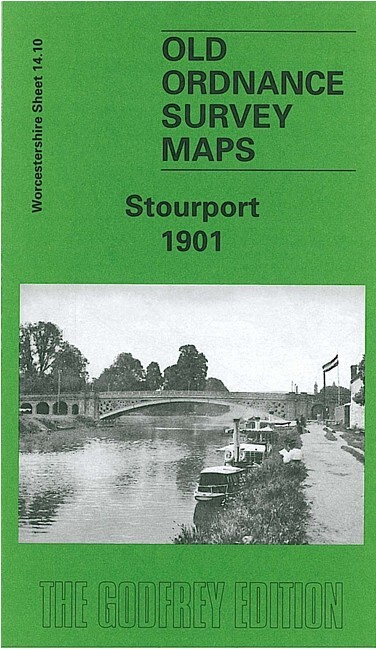
Stourport 1901 Worcestershire Sheet 14.10 by Barrie Trinder
Here are the details of maps for Stourport:\n\nWorcestershire Sheet 14.10 Stourport 1901 - published 2002; intro by Barrie Trinder. ISBN.978-1-84151-435-2 This detailed map of Stourport is double-sided for maximum coverage.\nThe main map covers the centre and north of the town, with coverage extending north of the railway to include the Newtown area and part of Upper Mitton. Features include railway with station, Staffordshire & Worcestershire Canal, Bullocklane Bridge, Upper Milton Bridge, Mitton Gardens, enamel works, carpet mill, St Michael's church, iron foundry, Moor Hall, Lickhill Lodge, corn mill, tin works, tramway, etc.\nOn the reverse we include part of adjacent sheet 14.14, extending coverage southward to include River Severn with basins, vinegar works, Severn Valley Works, Tontine Buildings, dry dock, Areley Kings, St Bartholomew's church, Areley Court, Areley House, Walshe's Farm.
Compare prices (2 shops)
| shop | Price | Action |
|---|---|---|
|
|
3,45 GBP | Go to shop |
|
|
3,75 GBP | Go to shop |
Similar products
-

-
-

Shifnal 1901 Shropshire Sheet 44.01 by Barrie Trinder
From 3,75 EUR -

Hadley 1901 Shropshire Sheet 36.10 by Barrie Trinder
From 3,75 EUR -
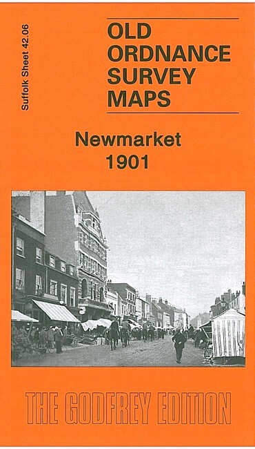
Newmarket 1901 Suffolk Sheet 42.06 by Barrie Trinder
From 3,75 EUR -

Ketley 1901 Shropshire Sheet 36.14 by Barrie Trinder
From 3,75 EUR