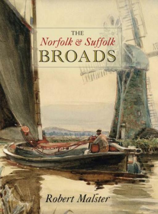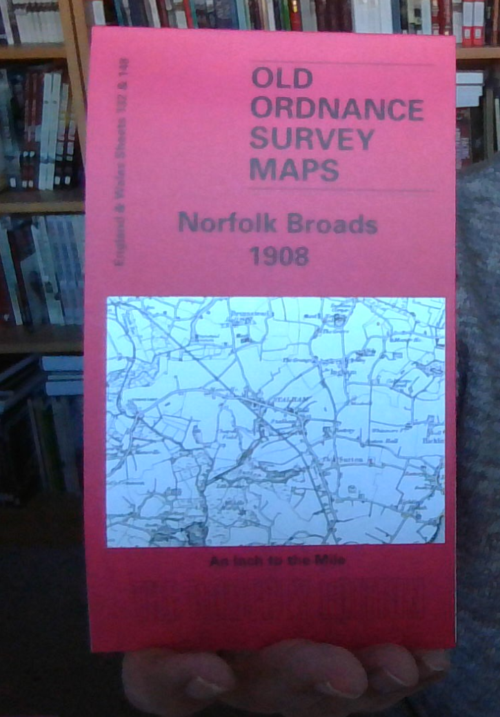
MAP OF Norfolk Broads 1908 One Inch Sheet 132/148 by Robert Malster NEW
Here is information about Sheets 132 & 148:\n\nOne Inch Sheet 132/148 Norfolk Broads 1908 - published 2003; intro by Robert Malster. ISBN.978-1-84151-576-2This One Inch to the Mile map covers the NE area of Norfolk around the Broads. For maximum coverage we include both maps, side by side. Coverage stretches from North Walsham and Belaugh eastward to the coast and out to the Cockle Lightship; and from Mundesley southward to Woodbastwick. Features include the River Thurne, Ranworth Broad, Wroxham Broad, Ormesby Broad, Hickling Broad, Heighton Sound, Burton Broad; also the Midland & Great Northern Joint Railway. On the reverse we include an extract from Norfolk Sheet 54.02 covering the seaside village of Winterton in detail, including a directory.\nIt is not possible to list the many hamlets, farmsteads and other topographical features shown on these maps. However, you might find it useful if we here list the majority of the principal villages and church parishes that are inclu.
Compare prices (2 shops)
| shop | Price | Action |
|---|---|---|

|
3,45 GBP | Go to shop |
|
|
3,75 GBP | Go to shop |