

Wemyss Bay 1912 Renfrewshire Sheet 5.06 by Gilbert Bell
Explore the historical terrain of Wemyss Bay with this travel map by Gilbert Torrance Bell, published in 2004 by Alan Godfrey Maps. Sheet 5.06 of the Renfrewshire series offers a detailed depiction of the area as it was in 1912, ideal for enthusiasts of transportation history and cartography. The map comes in a convenient sheet format, with dimensions of 222 mm by 143 mm, making it easy to handle and study.\n\nWith English as the language of description, this map is a valuable tool for researchers and collectors alike. It presents a snapshot of the region's past, allowing you to trace the evolution of Wemyss Bay's landscape and infrastructure over the last century. Whether for academic study or personal interest, this map serves as a window into the historical geography of Renfrewshire.\nHere are the details of maps for Wemyss Bay:\n\nRenfrewshire Sheet 5.06 Wemyss Bay 1912 - published 2004; intro by Gilbert Bell. ISBN.978-1-84151-661-5 This detailed map is double-sided for maxi.
Compare prices (2 shops)
| shop | Price | Action |
|---|---|---|

|
3,45 GBP | Go to shop |
|
|
3,75 GBP | Go to shop |
Similar products
-
-

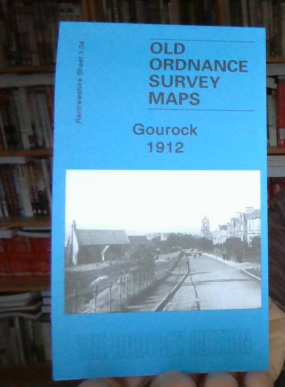
Gourock 1912 Renfrewshire Sheet 1.04 by Gilbert Bell
From 3,75 EUR -

-
-

-
