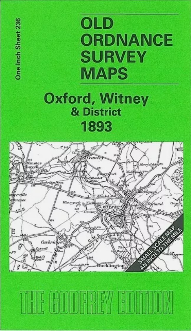
MAP OF Witney 1919 Oxfordshire Sheet 31.08 by Barrie Trinder NEW 9781841516844
Here are the details of maps for Witney:\n\nOxfordshire Sheet 31.08 Witney 1919 - published 2004; intro by Barrie Trinder. ISBN.978-1-84151-684-4 This detailed map of Witney covers the centre of the town, with coverage extending from the River Windrush westward to Witney Park Farm 'on site of Bishop's Palace'; and from St Mary's church northward to Holy Trinity church. Features include Church Green, High Street, Mount Mills, Langel Common, The Crofts, Market Square, Corn Street, Workhouse, cemetery, Bridge Street, Mill Street, Witney Mills, West End. We also include a commercial directory from 1899.
Compare prices (2 shops)
| shop | Price | Action |
|---|---|---|
|
|
3,45 GBP | Go to shop |
|
|
3,75 GBP | Go to shop |
Similar products
-

-

Burford 1919 Oxfordshire Sheet 24.16 by Barrie Trinder
From 3,75 EUR -

Bicester 1919 Oxfordshire Sheet 23.06 by Barrie Trinder
From 3,75 EUR -

-

-