
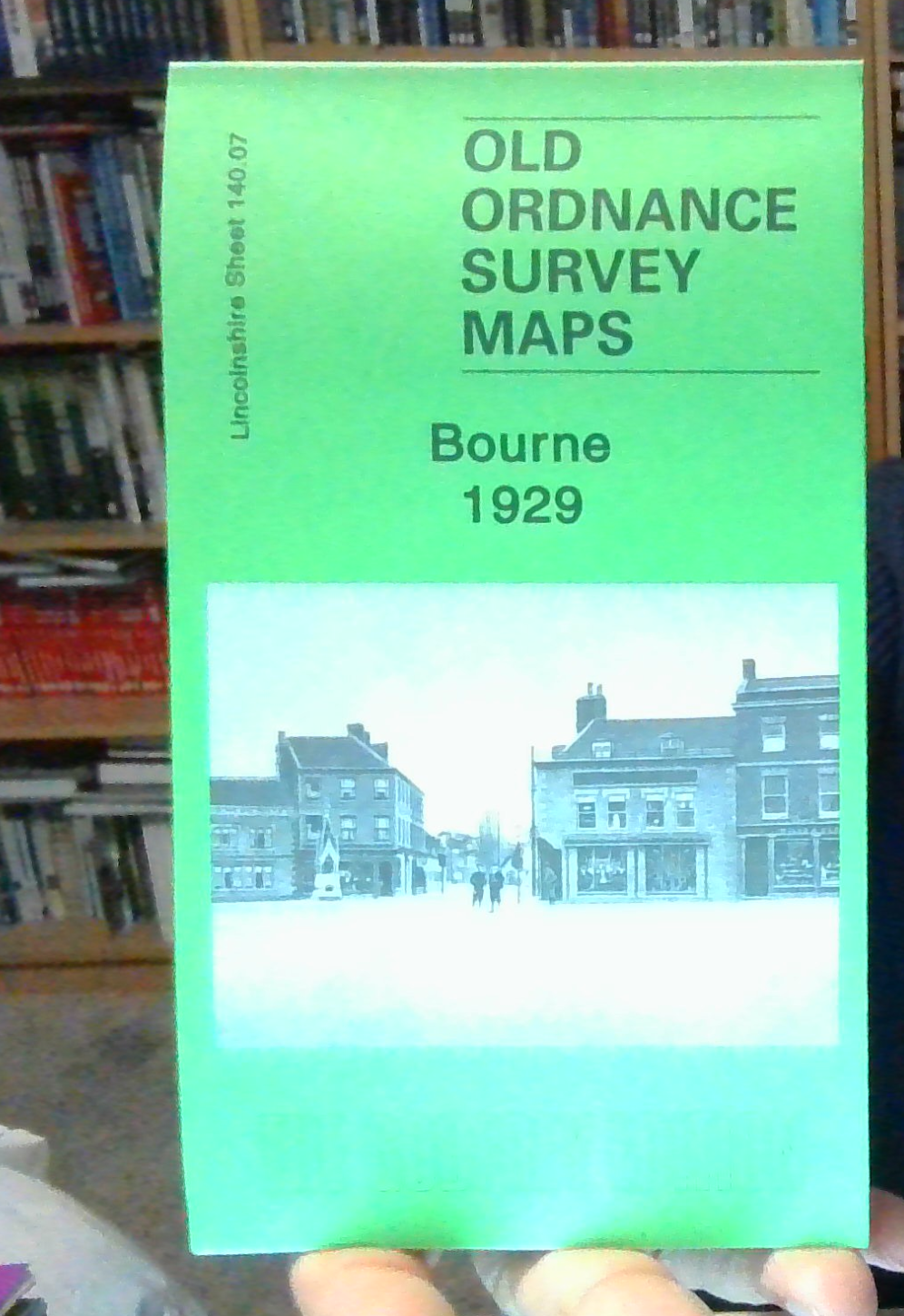
MAP OF Bourne 1929 Lincolnshire sheet 140.07 by Barrie Trinder NEW
This detailed map is double-sided to give maximum coverage of this Lincolnshire market town. The main map covers the area from the Market Place westward. Features include West Street, North Street, Town Hall, station, Well Head House (or workhouse), site of castle, malthouses, Manor House, Woodview, Bourne Camp (Ministry of Labour Training Centre). Coverage extends west to Bourne Wood and Auster Wood. On the reverse we include a good portion of adjacent sheet 140.08 covering the eastern half of the town, including St Peter & St Paul's church, Victoria Place, railway junction, site of Abbey, Hereward Estate, The Austerby, Eastgate, cemetery, Willoughby Road, Abbey Road, Car Dike.
Compare prices (2 shops)
| shop | Price | Action |
|---|---|---|

|
3,45 GBP | Go to shop |
|
|
3,75 GBP | Go to shop |


