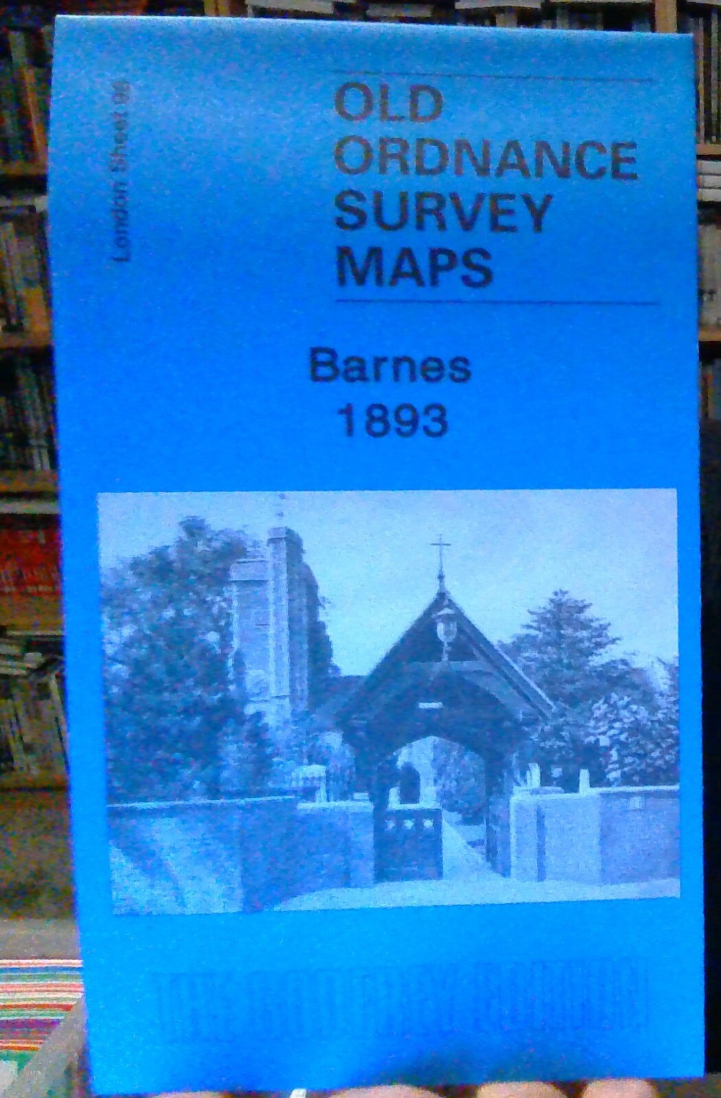
MAP OF Barnes 1893: London Sheet 098.2 Taylor, Pamela NEW 9781841519944
Here are the details of maps for Barnes & Mortlake:\n\nLondon Sheet 98.1 Barnes 1867 - published 1992; intro by Mary Grimwade. ISBN.978-0-85054-540-1 London Sheet 98.2 Barnes 1893 - published 2007; intro by Pamela Taylor. ISBN.978-1-84151-994-4 London Sheet 98.3 Barnes 1913 - published 2000; intro by John Griffiths. ISBN.978-1-84151-226-6 We have published three versions of this map, showing how the area developed across the years. The maps each cover the same area, stretching from Church Avenue at Mortlake eastward to Lower Common South on the outskirts of Putney; and from Madrid Road and part of Castelnau southward to Upper Richmond Road. The map therefore covers east Mortlake, including St Mary's church, part of the High St, Mortlake cemetery, the adjacent hospital, the malthouse, the RC church, and council offices; while the northern part of the map is largely Barnes, including Barnes Green, Barnes Common, Mill Hill, St Mary's church, St Michael & All Angel.
Compare prices (1 shop)
| shop | Price | Action |
|---|---|---|
|
|
4,50 GBP | Go to shop |