
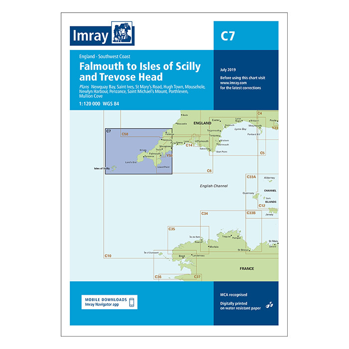
C7 Falmouth to Isles of Scilly Chart
Imray
C7 Falmouth to Isles of Scilly Chart\n\nC7 Falmouth to Isles of Scilly Chart\n\nThis edition of the C7 paper chart is printed and corrected to January 2021.\n\nDigitally printed on water resistant paper & folded to A4 size in a plastic wallet \u2013 open size: 79 x 112cm\n\nChart scale 1:120 000\n\nWGS 84\n\nMCA recognised\n\nDetailed cartography using up-to-date official survey data, with the latest depth surveys applied\n\nContains tidal stream information including direction and rates\n\nIncludes a separate sheet of information with any symbols & abbreviations used on Imray charts\n\nThe chart specification has been improved to show coloured light flashes\n\nLatest chart corrections available on the Imray website\n\nPlans included:\n\nNewquay Bay\n\nSt Ives\n\nSt Mary\u2019s Road\n\nHugh Town\n\nMousehole\n\nNewlyn Harbour\n\nPenzance\n\nSt Michael\u2019s Mount\n\nPorthleven\n\nMullion Cove\n\n \n\nShipping\n\nShipping Cost:\nFree Shipping\n\nDelivery time:\nHandling .
No offers available for this product at the moment.