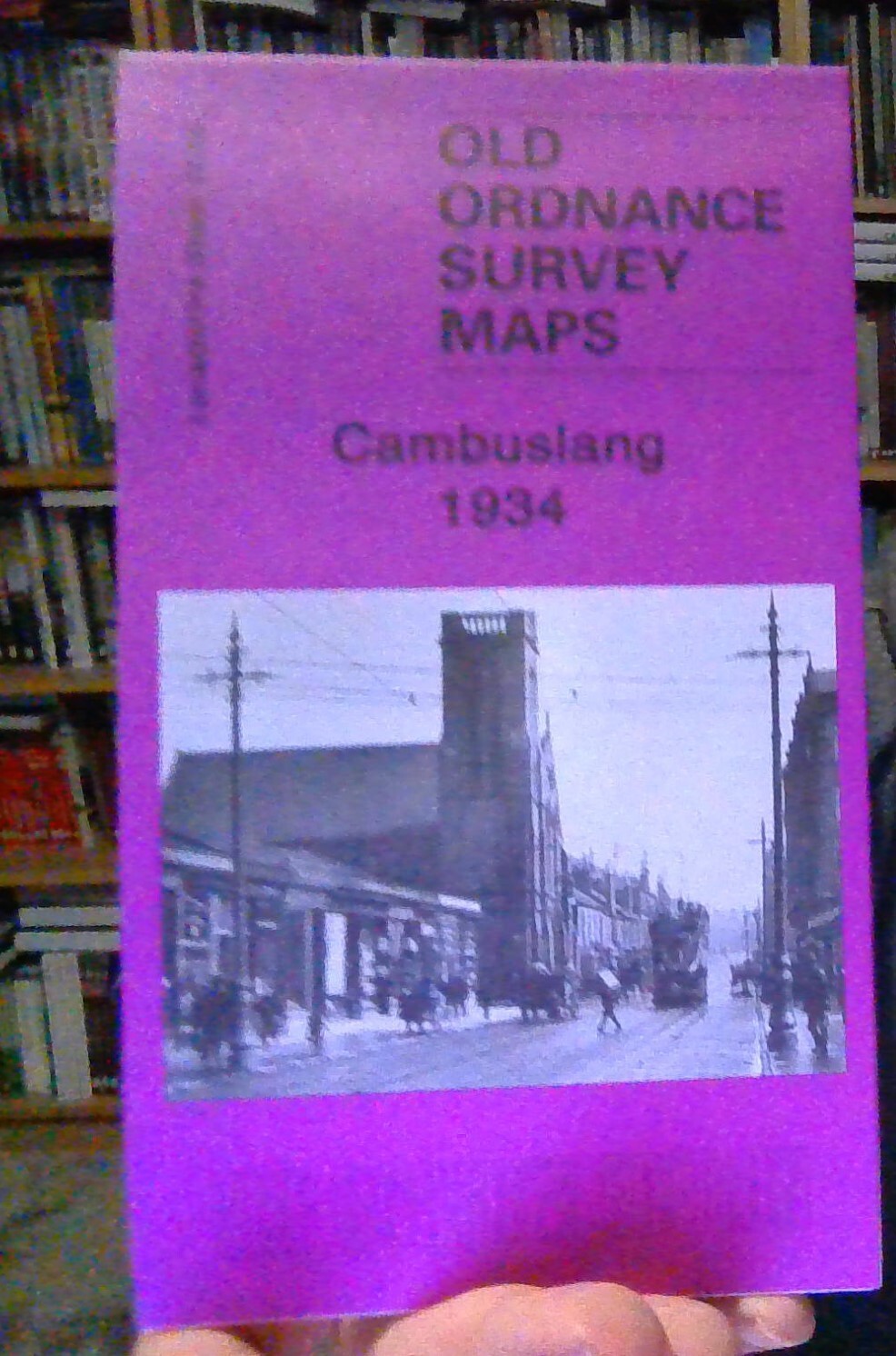
MAP OF Cambuslang 1934: Lanarkshire Sheet 11.05 by Gilbert Torrance Bell NEW
Here are the details of maps for Cambuslang:\n\nLanarkshire Sheet 11.05 Cambuslang 1934 - published 2007; intro by Gilbert Bell. ISBN.978-1-84784-020-2 This detailed map covers Cambuslang, just SE of Glasgow. Coverage extends from Wellshot Drive eastward to Lightburn Road, Springwell. The map covers the main centre of Cambuslang together with Halfway, Tanzieknowe, Howieshill, Kirkhill, Vicarland, Lightburn (bottom right corner) and Westburn (top right corner). Features include Gateside Colliery, Westburn Cemetery, Cambuslang Public Park, Westburn Farm, Westburn Steel Works (top margin), Rosebank Dye Works, Kirkhill station, tramway and several railways. We include a section of a 1911 directory, entries A-F, on the reverse\nThe map links up with Sheet 11.01 Carmyle to the north and 11.06 Drumsagard to the east.
Compare prices (2 shops)
| shop | Price | Action |
|---|---|---|
|
|
3,45 GBP | Go to shop |
|
|
3,75 GBP | Go to shop |
Similar products
-
-

Cathcart 1910 Lanarkshire Sheet 10.06 by Gilbert Bell
From 3,75 EUR -

Partick 1894 Lanarkshire Sheet 6.05 by Gilbert Bell
From 3,75 EUR -

Bishopbriggs 1910 Lanarkshire Sheet 1.15 by Gilbert Bell
From 3,75 EUR -

Lanark 1896 Lanarkshire Sheet 25.15 by Gilbert Bell
From 3,75 EUR -

Coatdyke 1897 Lanarkshire Sheet 8.09 by Gilbert Bell
From 3,75 EUR