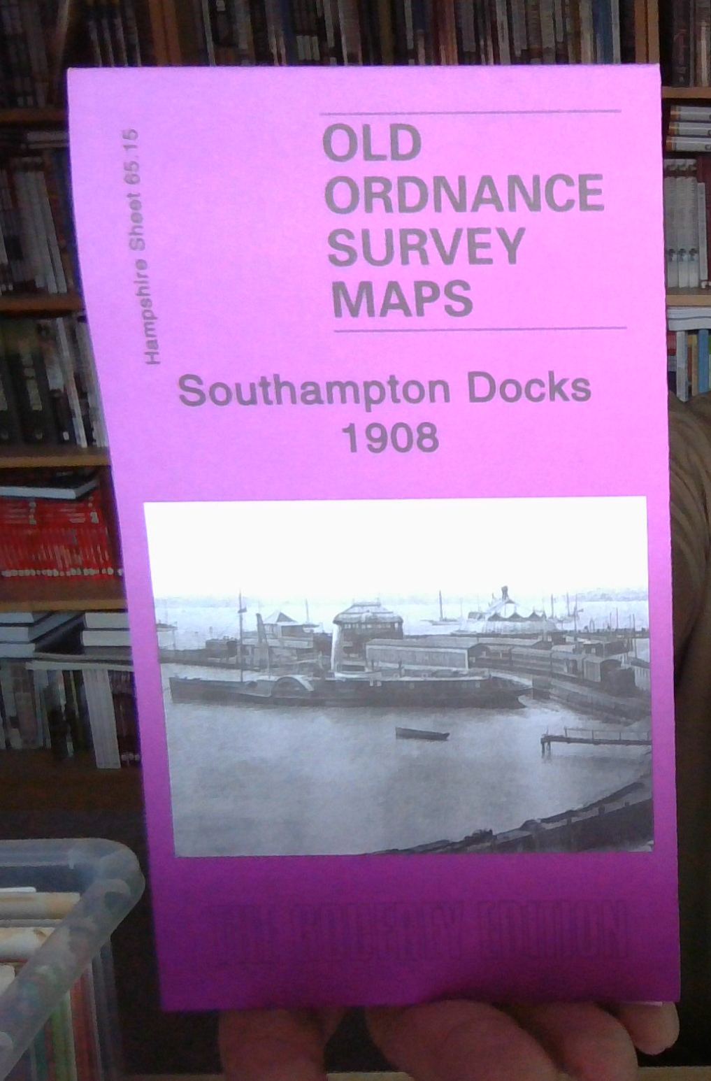
MAP OF Southampton Docks 1908: Hampshire Sheet 65.15 NEW 9781847840585
Here are the details of maps for Southampton Docks:\n\nHampshire 65.15a Southampton Docks 1908 - published 2007; intro by Alan Godfrey. ISBN.978-1-84784-056-1 Hampshire 65.15b Southampton Docks 1931 - published 2031; intro by Tony Painter. ISBN.978-1-78721-413-2 We have published two versions of this map, showing how the area changed across the years.\nThe dominant features of the maps are The Docks, including Inner Dock, Outer Dock, Empress Dock, Trafalgar Dry Dock,Prince of Wales Dry Dock and the Ocean Dock, here shown under construction. They are shown in detail, with dry docks, railway lines, warehouses, even mooring posts. Across the Itchen we have part of Woolston, including the shipbuilding works, Weston Point, Weston Grove, Weston Park. On the reverse of each we include part of adjacent sheet 65.14, which covers the Royal Pier and Town Quay.\nThe map links up with Hampshire Sheet 65.11 Southampton East to the north.
Compare prices (1 shop)
| shop | Price | Action |
|---|---|---|
|
|
3,45 GBP | Go to shop |
Similar products
-

-

MAP OF Southampton Docks 1931 Hampshire Sheet 65.15 NEW
From 3,45 EUR -

-

MAP OF Southampton (West) 1931 Hampshire Sheet 65.10
From 3,45 EUR -

-