MAP OF North Hammersmith and Bedford Park 1935: London Sheet 72.4 NEW
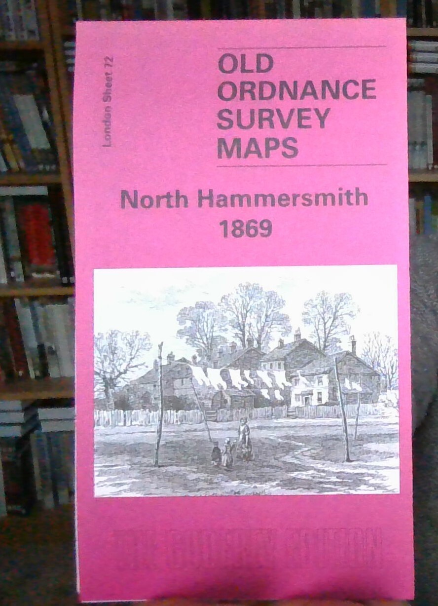
Here are the details of maps for North Hammersmith:\n\nLondon Sheet 72.1 North Hammersmith 1869 - published 2004; intro by Pamela Taylor. ISBN.978-1-84151-626-4 London Sheet 72.2 North Hammersmith & Bedford Park 1893 - published 1996; intro by Alan Godfrey. ISBN.978-0-85054-857-0 London Sheet 72.3 North Hammersmith & Bedford Park 1912 - published 1986; intro by Rosemary Clarkson. ISBN.978-0-85054-061-1 London Sheet 72.4 North Hammersmith & Bedford Park 1935 - published 2007; intro by Pamela Taylor. ISBN.978-1-84784-065-3 We have published four versions of this map, showing how the area developed across the years. The maps all cover the same area, with coverage extending from Acton Lane and Beaconsfield Road eastward to Devonport Road and Tabor Road, and from the Uxbridge Road southward to Hamlet Gardens and the District Line. The 1869 map shows Hammersmith at the edge of suburbia, with many fields, but several brick fields are evidence that building wa.
Compare prices (1 shop)
| shop | Price | Action |
|---|---|---|
|
|
3,45 GBP | Go to shop |