
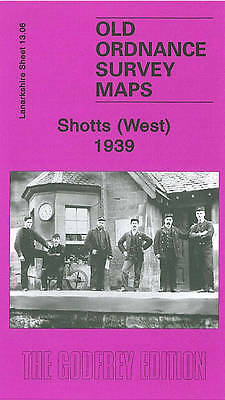
MAP OF Shotts (West) 1939: Lanarkshire Sheet 13.06, Bell, Gilbert T NEW
Here are the details of maps for Shotts:\n\nLanarkshire Sheet 13.06 Shotts (West) 1939 - published 2008; intro by Gilbert Bell. ISBN.978-1-84784-105-6 This detailed map covers the western part of Shotts, with coverage stretching from School Street westward to Hartwoodhill. Features include Shotts station, Calderhead, Calderhead Foundry, Dykehead, South Calder Water, Hartwoodhill 'Adult Mental Colony', Mossband Wood, Rosehall. We include extracts from a trade directory on the reverse.
Compare prices (2 shops)
| shop | Price | Action |
|---|---|---|

|
3,45 GBP | Go to shop |
|
|
3,75 GBP | Go to shop |
Similar products
-

-

Mossend 1939 Lanarkshire Sheet 12.05 by Gilbert Bell
From 3,75 EUR -

-

-

Carmyle 1934 Lanarkshire Sheet 11.01 by Gilbert Bell
From 3,75 EUR -

Cathcart 1910 Lanarkshire Sheet 10.06 by Gilbert Bell
From 3,75 EUR