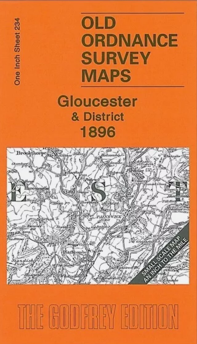
Brampton & District 1903 One Inch Sheet 18 by Barrie Trinder
This early One Inch Ordnance Survey map covers the area from the eastern suburbs of Carlisle eastward to Featherstone Castle and Blenkinsopp Hall. The only town is Brampton but other features include Naworth Park, much of the Alston Branch railway, several of Lord Carlisle's mineral lines, Geltsdale, Glendue Fell, Tindale Fells, stretches of Hadrian's Wall etc. On the reverse we include a detailed map of the village of Wetheral, including Wetheral Abbey, Corby Castle, Great Corby, station, Corby Gates, Holy Trinity church etc. Although most of the One Inch map is in Cumberland, a strip of Northumberland runs down the eastern side.\nIt is not possible to list the many hamlets, farmsteads and other topographical features shown on these maps. However, you may find it useful if we list the towns and principal villages or church parishes that are included on this map. \nCumberland: Brampton, Burtholme, Carlatton, Castle Carrock, Crosby upon Eden, Cumrew, Farlam, Gilsland, Hayton, Het.
Compare prices (2 shops)
| shop | Price | Action |
|---|---|---|

|
3,45 GBP | Go to shop |
|
|
3,75 GBP | Go to shop |
Similar products
-

-
-

-

-
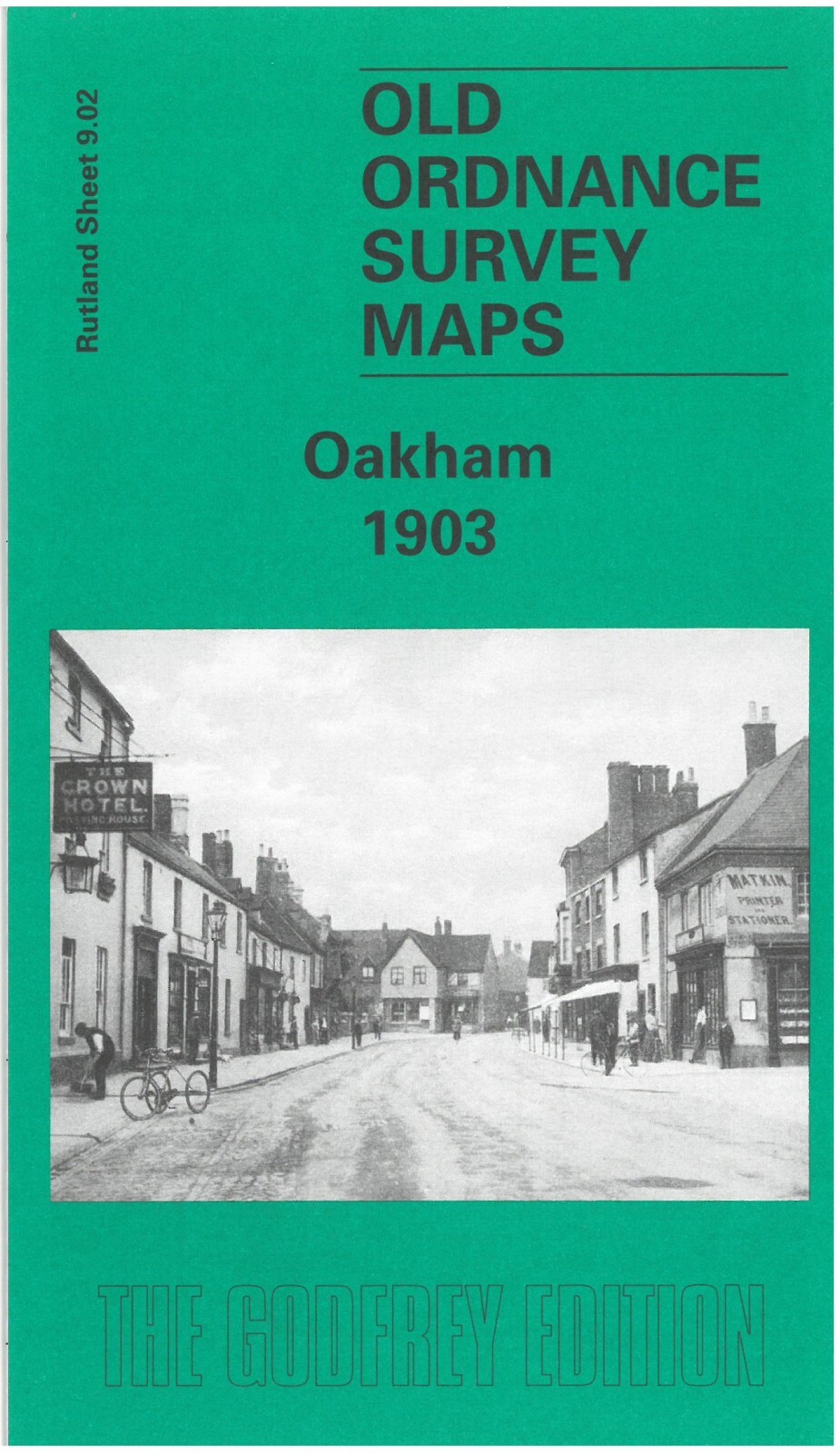
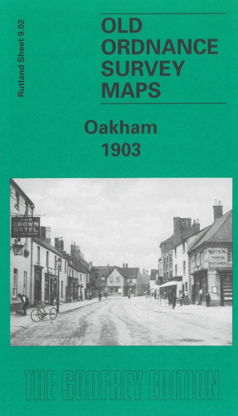
Oakham 1903 Rutland Sheet 9.02 by Barrie Trinder
From 3,75 EUR -