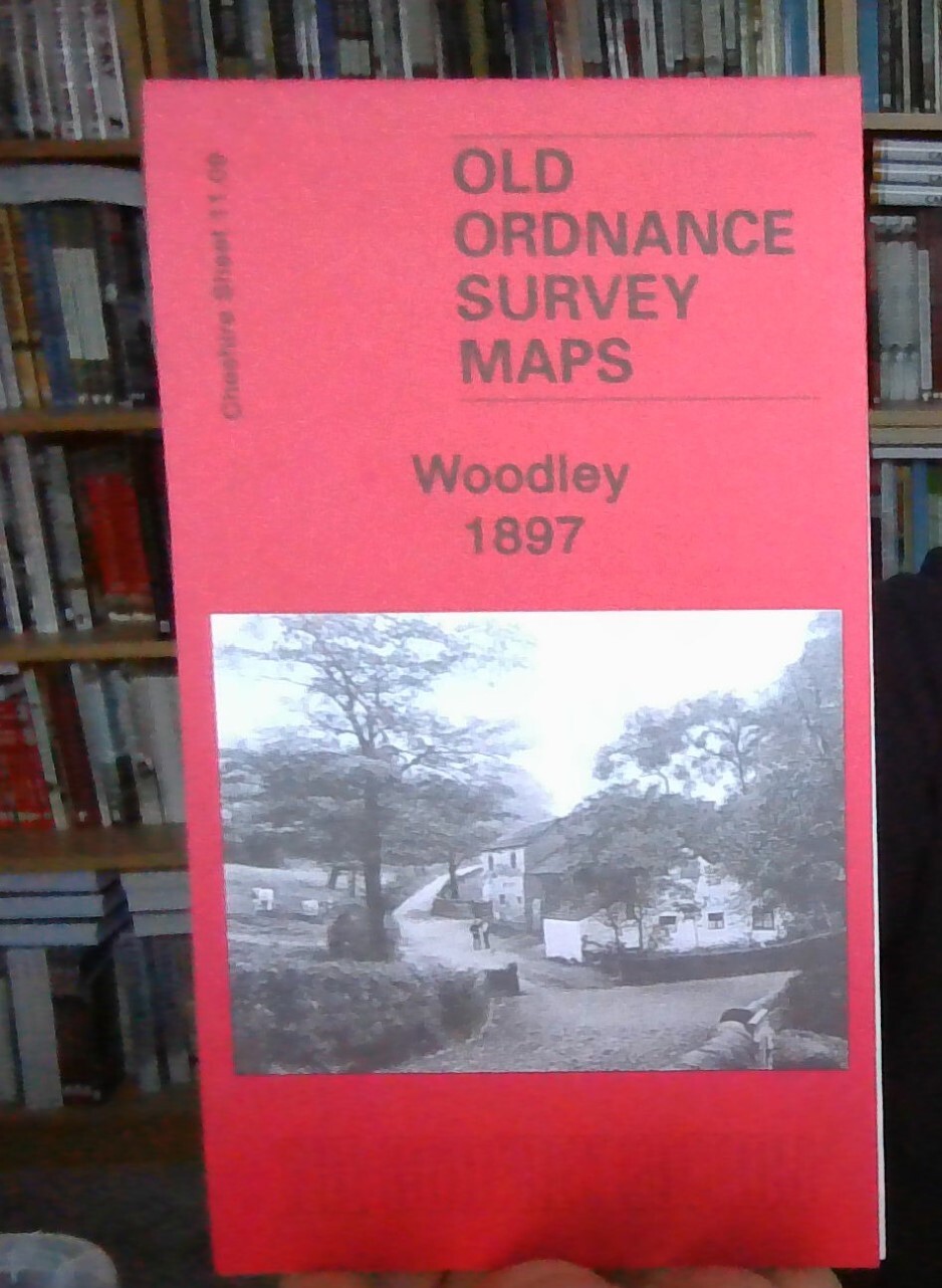
MAP OF Woodley 1897: Cheshire Sheet 11.09 by Chris Makepeace NEW 9781847843111
Here are the details of maps for Woodley and Bredbury (East):\n\nCheshire Sheet 11.09 Woodley 1897 - published 2009; intro by Chris Makepeace. ISBN.978-1-84784-311-1 This detailed map covers the eastern part of Bredbury, with coverage stretching from Butterhouse Green and Woodley eastward to Greavefold. Features include Victoria Works, St Mark's church, Butterhouse Green area, stretch of Peak Forest Canal, Cheshire Lines Railway and Sheffield & Midland Joint Railway with Woodley Junction station, Heald Wood, Greavefold with Holy Innocents church, Botany Mill, Wood Mill, Manor House. An 1896 directory of Bredbury is included on the reverse.\nThe map links up with Cheshire sheet 11.01 Hyde to the north, 10.12 Bredbury West to the west and 11.13 Romiley to the south.\nPart of the area is also covered in our Lancashire series by sheet 112.06 Woodley 1917.
Compare prices (2 shops)
| shop | Price | Action |
|---|---|---|
|
|
3,45 GBP | Go to shop |
|
|
3,75 GBP | Go to shop |
Similar products
-

-

-
-

Gatley 1897 Cheshire Sheet 19.01 by Chris Makepeace
From 3,75 EUR -

Timperley 1897 Cheshire Sheet 18.03 by Chris Makepeace
From 3,75 EUR -

Sale 1897 Cheshire Sheet 9.11 by Chris Makepeace
From 3,75 EUR