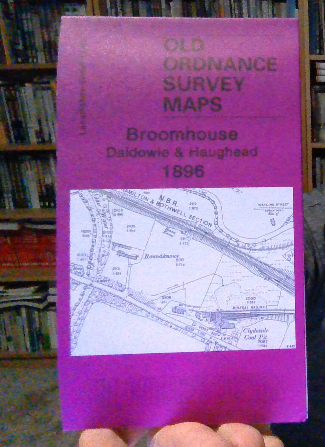
MAP OF Broomhouse, Daldowie & Haughead 1896: Lanarkshire Sheet 11.02 NEW
Here are the details of maps for Broomhouse:\n\nLanarkshire Sheet 11.02 Broomhouse, Daldowie & Haughead 1896 - published 2010; intro by Gilbert Bell. ISBN.978-1-84784-367-8 This detailed map covers the area from Broomhouse and Wester Daldowie southward to Newton House and Redlawood.\nFeatures include Maryville, Haughead Colliery, East and West Haughead, Clydeside Coal Pit, Kenmuirhill Colliery Pit 2 and Newton Pit No.4; River Clyde. A Cumbuslang directory entries A-D is included on the reverse.\nThe map links up with Lanarkshire sheets 11.01 Carmyle to the west, 11.03 Tannochside to the east and 11.06 Drumsagard to the south.
Compare prices (2 shops)
| shop | Price | Action |
|---|---|---|
|
|
3,45 GBP | Go to shop |
|
|
3,75 GBP | Go to shop |
Similar products
-

-

-

Lanark 1896 Lanarkshire Sheet 25.15 by Gilbert Bell
From 3,75 EUR -

Wishaw 1896 Lanarkshire Sheet 18.03 by Robert Duncan
From 3,75 EUR -

-
