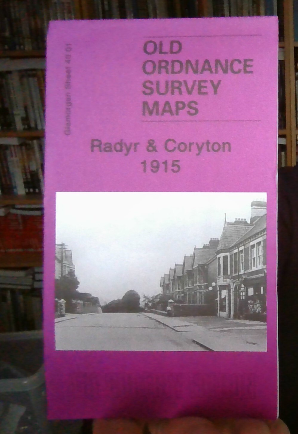
MAP OF Radyr & Coryton 1915 Glamorgan Sheet 43.01 NEW 9781847844064
Here are the details of maps for Radyr:\nGlamorgan Sheet 43.01 Radyr & Coryton 1915 - published 2010; intro by Derrick Pratt. ISBN.978-1-84784-406-4 This detailed map covers the northern part of Radyr and western part of Whitchurch. Coverage stretches from Driscoll Road eastward to Kelston Road, and from Velindra Road northward to part of Morganstown.\nFeatures include River Taff, Glamorganshire Canal, Melin-Griffith Feeder, Cardiff City Mental Hospital, Velindre, northern tip of Melin-Griffith Tin Works, Coryton, Forest Farm, Cardiff Railway with Coryton Halt, Taff Vale Railway with Radyr station, Penarth Junction, sidings, Mynydd Wood, Windsor Road area of Radyr, Ty-mynydd Farm, Melin-Griffith & Pentyrch Railway, St Dyfrig's RC church, St Mary's church, Dynea Colliery (disused), Glyn-Taf, old mineral tramway route, Treforest Junction, Electrical Works, etc.\nOn the reverse we include 1906 directories for Radyr and Whitchurch.\nThe map links up with sheet 43.05 Llandaff.
Compare prices (2 shops)
| shop | Price | Action |
|---|---|---|
|
|
3,45 GBP | Go to shop |
|
|
3,75 GBP | Go to shop |
Similar products
-

Llwynypia 1915 Glamorgan Sheet 27.03 by Derrick Pratt
From 3,75 EUR -

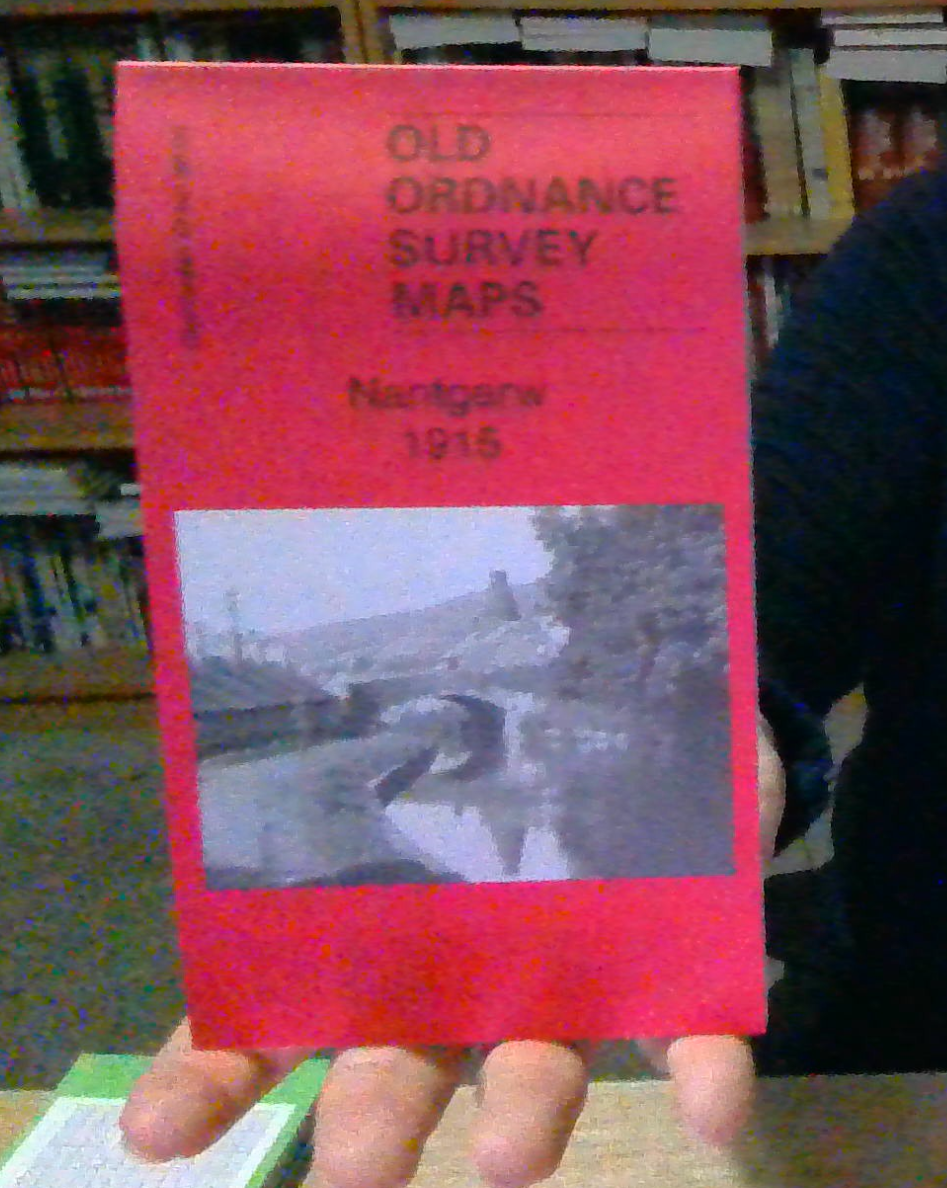
Nantgarw 1915 Glamorgan Sheet 36.08 by Derrick Pratt
From 3,75 EUR -

-
-

-

Gelli 1914 Glamorgan Sheet 27.02 by Derrick Pratt
From 3,75 EUR