

Ventnor & Isle of Wight (South) 1901 One Inch Sheet 344/345 by Tony Painter
This One Inch to the Mile map includes two maps, sheets 344 and 345, and covers the southern part of the Isle of Wight. Coverage runs from Brook eastward to Sandown and southward St Catherine's Point.\nFeatures include the towns of Ventnor and Shanklin, the Isle of Wight Railway, Newport Godshill & St Lawrence Railway, Brighstone Bay, Watershot Bay, St Boniface Down etc. We also include a detailed map of central Ventnor, incl IOWR station, The Undercliffe, The Grove, Royal Hotel, Lowtherville, St Alban's church, Benedictine Priory, St Catherine's church, Brewery, etc.\nIt is not possible to list the many hamlets, farmsteads and other topographical features shown on these maps. However, you may find it useful if we list the towns and principal villages or church parishes that are included on this map.\nIsle of Wight: Bonchurch, Brighstone, Brook, Chale, Dunnose, Godshill, Mottistone, Niton, Sandown, Shanklin, Shorwell, St Lawrence, Ventnor, Whitwell, Wroxall.
Compare prices (2 shops)
| shop | Price | Action |
|---|---|---|

|
3,45 GBP | Go to shop |
|
|
3,75 GBP | Go to shop |
Similar products
-
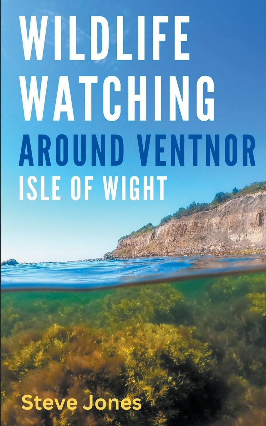
Wildlife Watching Around Ventnor, Isle of Wight
From 7,99 EUR -
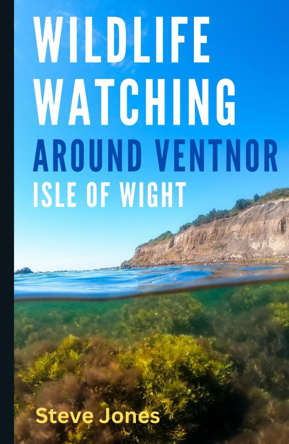
Wildlife Watching Around Ventnor, Isle of Wight
From 15,00 EUR -
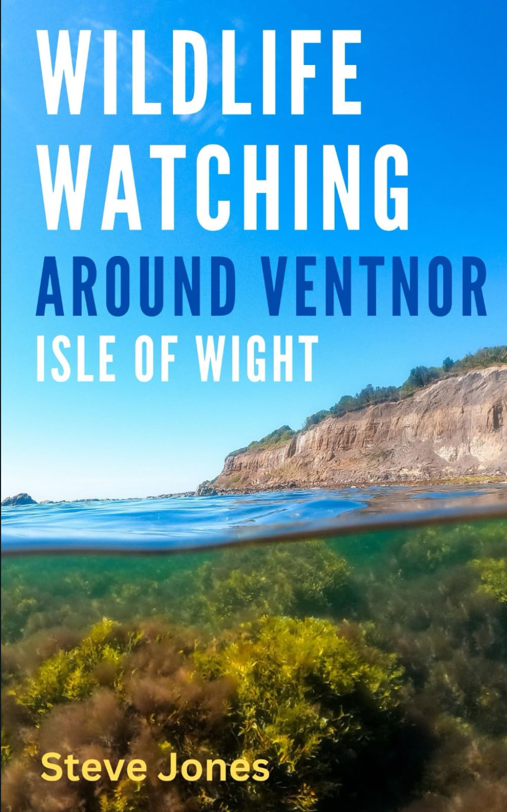
Wildlife Watching Around Ventnor, Isle of Wight
From 9,99 EUR -
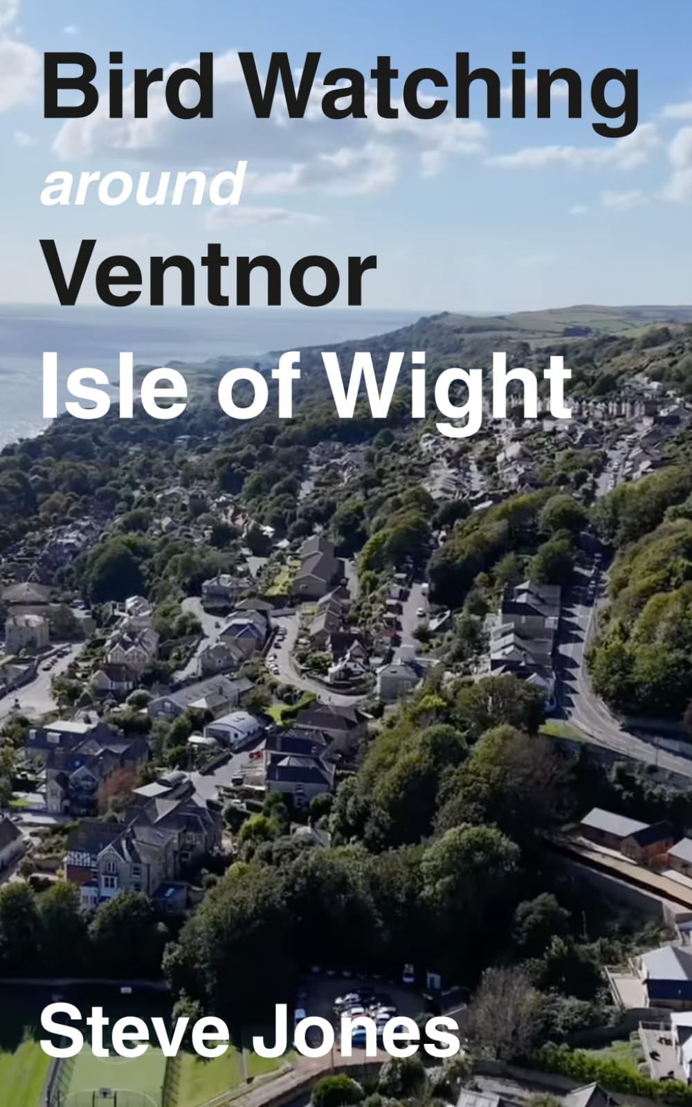
Bird Watching Around Ventnor, Isle of Wight
From 9,99 EUR -

-
